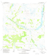
1950 Map of Gulkana D-4
USGS Topo · Published 1978About this map
Paxson Lake dominates the eastern edge of this Alaskan landscape, serving as a hub for early roadside activity along the Richardson Highway. Near the shoreline, Sportsman Lodge and Huffmans represent the small-scale development characteristic of this mid-century period, providing vital stopping points in an area defined by extensive water networks. The map details the winding course of the Middle Fork and Gulkana River, which cut through a terrain of swamps and uplands like Flat Top Mountain.
Find a feature on this map
17 named features on this map. Tap any name to fly to it.
Don’t see what you’re looking for? This feature index may not catch every label — zoom into the map to look around manually.
Map Details
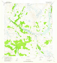
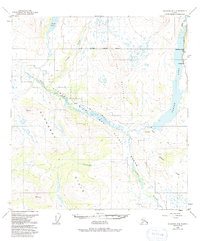
Editions of this 1950 Gulkana D-4 Map
4 editions found
Other maps of this area

1949 · Mount Hayes A-4
USGS Topo · 1:63,360

1949 · Gulkana D-3
USGS Topo · 1:63,360

1949 · Mount Hayes A-5
USGS Topo · 1:63,360

1950 · Mount Hayes
USGS Topo · 1:250,000

1950 · Gulkana D-4
USGS Topo · 1:63,360

1950 · Mount Hayes A-3
USGS Topo · 1:63,360

1950 · Gulkana C-3
USGS Topo · 1:63,360

1950 · Gulkana C-4
USGS Topo · 1:63,360

1951 · Gulkana
USGS Topo · 1:250,000

1951 · Mount Hayes
USGS Topo · 1:250,000