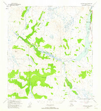
1950 Map of Gulkana D-4
USGS Topo · Published 1962About this map
Paxson Lake dominates the eastern edge of this landscape, serving as a focal point for early tourism and transportation in the interior. Along its northern shores, Sportsman Lodge and Hufmans reflect the era's growing recreational presence. The Richardson Highway parallels the lake, providing a critical artery through the Alaskan wilderness. Further west, the terrain rises toward Flat Top Mountain, a massive highland bounded by the winding Middle Fork and Twelvemile Creek.
Find a feature on this map
16 named features on this map. Tap any name to fly to it.
Don’t see what you’re looking for? This feature index may not catch every label — zoom into the map to look around manually.
Map Details
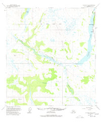
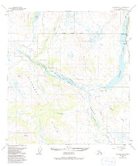
Editions of this 1950 Gulkana D-4 Map
4 editions found
Other maps of this area

1949 · Mount Hayes A-4
USGS Topo · 1:63,360

1949 · Gulkana D-3
USGS Topo · 1:63,360

1949 · Mount Hayes A-5
USGS Topo · 1:63,360

1950 · Mount Hayes
USGS Topo · 1:250,000

1950 · Gulkana D-4
USGS Topo · 1:63,360

1950 · Mount Hayes A-3
USGS Topo · 1:63,360

1950 · Gulkana C-3
USGS Topo · 1:63,360

1950 · Gulkana C-4
USGS Topo · 1:63,360

1951 · Gulkana
USGS Topo · 1:250,000

1951 · Mount Hayes
USGS Topo · 1:250,000