
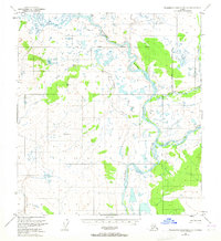
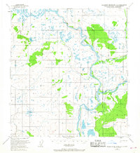
1951 Map of Talkeetna Mountains D-1
USGS Topo · Published 1965About this map
The Susitna River winds through this Alaskan interior landscape, where the South Boundary Fairbanks Meridian and East Boundary Seward Meridian meet. Surveyed just after the war, the map reveals a remote wilderness defined by braided glacial river systems and high-altitude survey markers like Vabm 3716 Sumarlidason and Vabm 3299 Coal. Evidence of human presence is sparse, limited to a single Cabin located near the headwaters of Coal Creek and the quiet waters of Coal Lake.
Find a feature on this map
10 named features on this map. Tap any name to fly to it.
Don’t see what you’re looking for? This feature index may not catch every label — zoom into the map to look around manually.
Map Details
Editions of this 1951 Talkeetna Mountains D-1 Map
3 editions found
Other maps of this area

1949 · Healy A-1
USGS Topo · 1:63,360

1950 · Talkeetna Mountains
USGS Topo · 1:250,000

1950 · Mount Hayes
USGS Topo · 1:250,000

1950 · Mount Hayes A-6
USGS Topo · 1:63,360

1951 · Healy
USGS Topo · 1:250,000

1951 · Gulkana
USGS Topo · 1:250,000

1951 · Mount Hayes
USGS Topo · 1:250,000

1951 · Gulkana D-6
USGS Topo · 1:63,360

1951 · Talkeetna Mountains C-2
USGS Topo · 1:63,360

1951 · Talkeetna Mountains D-2
USGS Topo · 1:63,360