
1949 Map of Talkeetna Mountains A-1
USGS Topo · Published 1962About this map
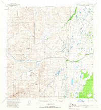
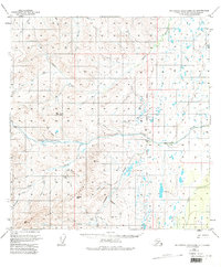
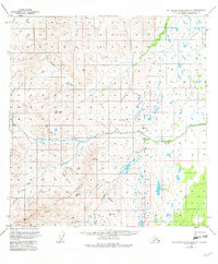
The Horn Mountains dominate the southwestern reaches of this terrain, where drainages like Albert Creek and McDougal Creek flow toward the larger river systems. A network of waterways, including the Little Nelchina River and Nelchina River, defines the central corridor of the landscape. Near the confluence of these rivers lies Nelchina (Aka'd), a named site along the riverbank that hints at indigenous history or early settlement patterns in this remote region.
Find a feature on this map
31 named features on this map. Tap any name to fly to it.
Don’t see what you’re looking for? This feature index may not catch every label — zoom into the map to look around manually.
Map Details
Editions of this 1949 Talkeetna Mountains A-1 Map
4 editions found
Other maps of this area

1948 · Anchorage D-2
USGS Topo · 1:63,360

1948 · Anchorage D-1
USGS Topo · 1:63,360

1949 · Gulkana A-6
USGS Topo · 1:63,360

1949 · Valdez D-8
USGS Topo · 1:63,360

1950 · Talkeetna Mountains
USGS Topo · 1:250,000

1950 · Gulkana B-6
USGS Topo · 1:63,360

1951 · Gulkana
USGS Topo · 1:250,000

1951 · Anchorage
USGS Topo · 1:250,000

1951 · Anchorage D-1
USGS Topo · 1:63,360

1951 · Talkeetna Mountains B-1
USGS Topo · 1:63,360