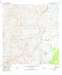
1949 Map of Talkeetna Mountains A-1
USGS Topo · Published 1982About this map
Horn Mountains dominate the southwestern quadrant of this 1949 survey, defining a drainage system that feeds several significant glacial and alpine watercourses. The Little Nelchina River and Nelchina River bisect the terrain, creating a natural corridor between the high peaks and the lake-dotted lowlands to the northeast. Human activity in this remote subarctic landscape is sparse, marked primarily by the pursuit of mineral wealth as evidenced by a Placer Mine situated near the headwaters of Albert Creek.
Find a feature on this map
28 named features on this map. Tap any name to fly to it.
Don’t see what you’re looking for? This feature index may not catch every label — zoom into the map to look around manually.
Map Details
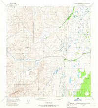
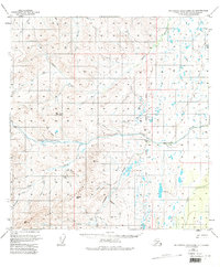
Editions of this 1949 Talkeetna Mountains A-1 Map
4 editions found
Other maps of this area

1948 · Anchorage D-2
USGS Topo · 1:63,360

1948 · Anchorage D-1
USGS Topo · 1:63,360

1949 · Talkeetna Mountains A-1
USGS Topo · 1:63,360

1949 · Gulkana A-6
USGS Topo · 1:63,360

1949 · Valdez D-8
USGS Topo · 1:63,360

1950 · Talkeetna Mountains
USGS Topo · 1:250,000

1950 · Gulkana B-6
USGS Topo · 1:63,360

1951 · Gulkana
USGS Topo · 1:250,000

1951 · Anchorage
USGS Topo · 1:250,000

1951 · Anchorage D-1
USGS Topo · 1:63,360