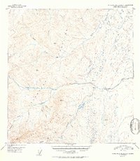
1952 Map of Talkeetna Mountains A-1
USGS Topo · Published 1952About this map
The Little Nelchina River flows through the high country where the Talkeetna Mountains and Horn Mountains converge. This 1952 edition, based on 1948 aerial photography, provides a detailed look at a remote Alaskan landscape defined by its waterways and mineral potential. Evidence of human activity is sparse but significant, centered on the Placer Mine near the headwaters of Placer Creek and Albert Creek.
Find a feature on this map
27 named features on this map. Tap any name to fly to it.
Don’t see what you’re looking for? This feature index may not catch every label — zoom into the map to look around manually.
Map Details
Editions of this 1952 Talkeetna Mountains A-1 Map
2 editions found
Other maps of this area

1948 · Anchorage D-2
USGS Topo · 1:63,360

1948 · Anchorage D-1
USGS Topo · 1:63,360

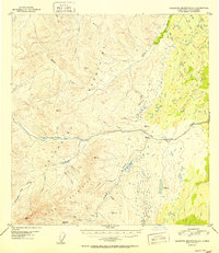
1949 · Talkeetna Mountains A-1
USGS Topo · 1:63,360

1949 · Gulkana A-6
USGS Topo · 1:63,360

1949 · Valdez D-8
USGS Topo · 1:63,360

1950 · Talkeetna Mountains
USGS Topo · 1:250,000

1950 · Gulkana B-6
USGS Topo · 1:63,360

1951 · Gulkana
USGS Topo · 1:250,000

1951 · Anchorage
USGS Topo · 1:250,000

1951 · Anchorage D-1
USGS Topo · 1:63,360