
1951 Map of Talkeetna Mountains C-3
USGS Topo · Published 1967About this map
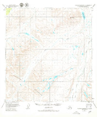
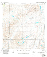
The Talkeetna Mountains define the high-elevation interior of south-central Alaska, documented here through 1949 aerial photography and 1951 field annotations. This subarctic landscape is shaped by the drainage patterns of the Fog Creek and Tsisi Creek systems, which navigate the complex topography surrounding the peak of Mt Watana. The map shows a region characterized by its hydrography, where Watana Lake sits north of a network of watercourses including Kosina Creek, Terrace Creek, and George Creek. As indicated by the Bureau of Land Management notes in the margin, the land lines here represent predetermined but unsurveyed locations, reflecting the state of interior Alaska as the territory moved toward statehood. The detailed contour intervals and drainage labels provide a precise record of the natural hydrology and summits before significant human infrastructure was introduced.
Find a feature on this map
9 named features on this map. Tap any name to fly to it.
Don’t see what you’re looking for? This feature index may not catch every label — zoom into the map to look around manually.
Map Details
Editions of this 1951 Talkeetna Mountains C-3 Map
3 editions found
Other maps of this area

1950 · Talkeetna Mountains
USGS Topo · 1:250,000

1950 · Talkeetna Mountains B-4
USGS Topo · 1:63,360

1951 · Talkeetna Mountains C-2
USGS Topo · 1:63,360

1951 · Talkeetna Mountains B-3
USGS Topo · 1:63,360

1951 · Talkeetna Mountains D-2
USGS Topo · 1:63,360

1951 · Talkeetna Mountains B-2
USGS Topo · 1:63,360

1951 · Talkeetna Mountains C-4
USGS Topo · 1:63,360

1951 · Talkeetna Mountains D-3
USGS Topo · 1:63,360

1951 · Talkeetna Mountains D-4
USGS Topo · 1:63,360
1952 · Talkeetna Mountains B-4
USGS Topo · 1:63,360