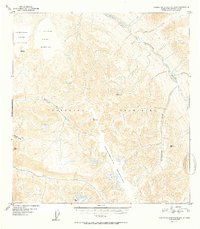
1952 Map of Talkeetna Mountains B-4
USGS Topo · Published 1952About this map
The Talkeetna Mountains define this high-altitude landscape, where the Talkeetna River flows through the northeastern sector of the quadrangle. The map is centered on the drainage network of Iron Creek, including its East Fork and Middle Fork, which carve through a series of named survey peaks. These summits, identified by their Vertical Angle Bench Marks, include VABM 6466 Sedan and VABM 6555 Xylic.
Find a feature on this map
14 named features on this map. Tap any name to fly to it.
Don’t see what you’re looking for? This feature index may not catch every label — zoom into the map to look around manually.
Map Details
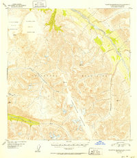
Editions of this 1952 Talkeetna Mountains B-4 Map
2 editions found
Other maps of this area

1949 · Talkeetna Mountains A-4
USGS Topo · 1:63,360

1950 · Talkeetna Mountains
USGS Topo · 1:250,000

1950 · Talkeetna Mountains B-5
USGS Topo · 1:63,360

1950 · Talkeetna Mountains B-4
USGS Topo · 1:63,360

1950 · Talkeetna Mountains A-5
USGS Topo · 1:63,360

1950 · Talkeetna Mountains C-5
USGS Topo · 1:63,360

1951 · Talkeetna Mountains B-3
USGS Topo · 1:63,360

1951 · Talkeetna Mountains A-3
USGS Topo · 1:63,360

1951 · Talkeetna Mountains C-4
USGS Topo · 1:63,360

1951 · Talkeetna Mountains C-3
USGS Topo · 1:63,360