
1951 Map of Talkeetna Mountains B-3
USGS Topo · Published 1964About this map
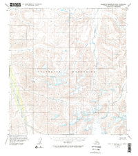
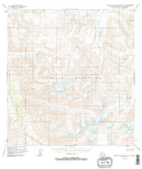
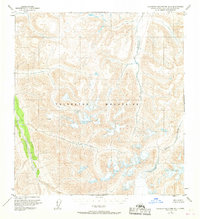
The Talkeetna Mountains define this interior Alaskan landscape, which remained largely unsettled and roadless at the time of this 1950s-era study. Drainage systems dominate the topography, with the Talkeetna River winding through the western portion of the quadrangle. Several significant tributaries, including Kosina Creek, George Creek, and John Creek, carve through the high-elevation terrain, illustrating the natural water network before any modern infrastructure was established.
Find a feature on this map
9 named features on this map. Tap any name to fly to it.
Don’t see what you’re looking for? This feature index may not catch every label — zoom into the map to look around manually.
Map Details
Editions of this 1951 Talkeetna Mountains B-3 Map
4 editions found
Other maps of this area

1949 · Talkeetna Mountains A-4
USGS Topo · 1:63,360

1950 · Talkeetna Mountains
USGS Topo · 1:250,000

1950 · Talkeetna Mountains B-4
USGS Topo · 1:63,360

1951 · Talkeetna Mountains A-2
USGS Topo · 1:63,360

1951 · Talkeetna Mountains C-2
USGS Topo · 1:63,360

1951 · Talkeetna Mountains A-3
USGS Topo · 1:63,360

1951 · Talkeetna Mountains B-2
USGS Topo · 1:63,360

1951 · Talkeetna Mountains C-4
USGS Topo · 1:63,360

1951 · Talkeetna Mountains C-3
USGS Topo · 1:63,360
1952 · Talkeetna Mountains B-4
USGS Topo · 1:63,360