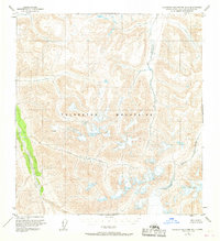
1951 Map of Talkeetna Mountains B-3
USGS Topo · Published 1968About this map
The high interior of the Talkeetna Mountains is defined by a complex drainage network that feeds the major river systems of the Matanuska-Susitna region. Based on aerial photography from 1950, this topographic study captures a wilderness landscape before significant modern infrastructure. The Talkeetna River flows prominently through the southwestern corner, joined by tributaries like Clear Creek and Aspen Creek. To the east, the Black River and Kosina Creek carve deep valleys through the high peaks, illustrating the natural pathways used by early hunters and prospectors long before established roads reached these elevations. The survey reflects a time when land lines were often unsurveyed, relying on the Bureau of Land Management's predetermined locations. It provides a foundational view of the watershed for John Creek and George Creek at the height of mid-century aerial mapping efforts.
Find a feature on this map
9 named features on this map. Tap any name to fly to it.
Don’t see what you’re looking for? This feature index may not catch every label — zoom into the map to look around manually.
Map Details
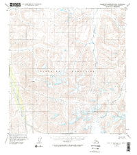
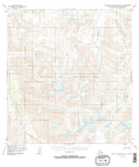
Editions of this 1951 Talkeetna Mountains B-3 Map
4 editions found
Other maps of this area

1949 · Talkeetna Mountains A-4
USGS Topo · 1:63,360

1950 · Talkeetna Mountains
USGS Topo · 1:250,000

1950 · Talkeetna Mountains B-4
USGS Topo · 1:63,360

1951 · Talkeetna Mountains A-2
USGS Topo · 1:63,360

1951 · Talkeetna Mountains C-2
USGS Topo · 1:63,360

1951 · Talkeetna Mountains B-3
USGS Topo · 1:63,360

1951 · Talkeetna Mountains A-3
USGS Topo · 1:63,360

1951 · Talkeetna Mountains B-2
USGS Topo · 1:63,360

1951 · Talkeetna Mountains C-4
USGS Topo · 1:63,360

1951 · Talkeetna Mountains C-3
USGS Topo · 1:63,360