
1951 Map of Talkeetna Mountains D-3
USGS Topo · Published 1966About this map
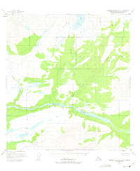
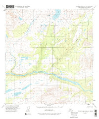
The Susitna River carves a massive glacial valley through this remote Alaskan landscape, serving as the primary drainage for an intricate network of highland tributaries. Based on aerial photography from 1949 and field-annotated in 1951, the map documents a wilderness during the early years of the territory's push toward statehood, when land lines remained largely unsurveyed. High-altitude water bodies like Big Lake and the Fog Lakes chain dominate the higher elevations, feeding creeks such as Watana Creek and Deadman Creek. The demarcation of the North Boundary Seward Meridian highlights the ongoing administrative efforts by the Bureau of Land Management to organize this vast interior. This sheet captures a landscape defined by its hydrography and natural drainages before significant human infrastructure reached this portion of the Talkeetna Mountains.
Find a feature on this map
8 named features on this map. Tap any name to fly to it.
Don’t see what you’re looking for? This feature index may not catch every label — zoom into the map to look around manually.
Map Details
Editions of this 1951 Talkeetna Mountains D-3 Map
3 editions found
Other maps of this area

1950 · Talkeetna Mountains
USGS Topo · 1:250,000

1950 · Healy A-3
USGS Topo · 1:63,360

1950 · Healy A-4
USGS Topo · 1:63,360

1951 · Healy
USGS Topo · 1:250,000

1951 · Talkeetna Mountains C-2
USGS Topo · 1:63,360

1951 · Talkeetna Mountains D-2
USGS Topo · 1:63,360

1951 · Talkeetna Mountains C-4
USGS Topo · 1:63,360

1951 · Talkeetna Mountains D-4
USGS Topo · 1:63,360

1951 · Talkeetna Mountains C-3
USGS Topo · 1:63,360

1951 · Healy A-2
USGS Topo · 1:63,360