
1951 Map of Anchorage D-7
USGS Topo · Published 1965About this map
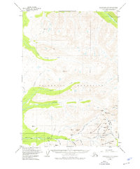
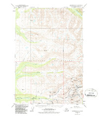
Talkeetna Mountains gold mining operations dominate this high-altitude survey, illustrating the intensive lode mining activity around the Willow Creek district in the early 1950s. The landscape is dotted with several named mines and prospects, including the Independence Mine, Lucky Shot Mine, and the Gold Bullion Mine, indicating a period of significant extraction and geological exploration. Access to these remote sites is shown via the Willow Road, which snakes through the southern portion of the quadrangle toward Hatcher Pass. High peaks such as Skyscraper Mountain and Bullion Mountain tower over the drainage basins of Willow Creek and Purches Creek. This edition captures the infrastructure of the mining industry before modern shifts in the region, providing a detailed look at the claims and trails that supported the local economy. Water sources like Summit Lake and the Kashwitna River define the natural boundaries between these steep mountain ridges.
Find a feature on this map
46 named features on this map. Tap any name to fly to it.
Don’t see what you’re looking for? This feature index may not catch every label — zoom into the map to look around manually.
Map Details
Editions of this 1951 Anchorage D-7 Map
3 editions found
Other maps of this area

1949 · Anchorage D-7
USGS Topo · 1:63,360

1949 · Anchorage D-8
USGS Topo · 1:63,360

1950 · Talkeetna Mountains
USGS Topo · 1:250,000

1950 · Anchorage C-8
USGS Topo · 1:63,360

1950 · Anchorage D-6
USGS Topo · 1:63,360

1950 · Anchorage C-7
USGS Topo · 1:63,360

1950 · Talkeetna Mountains A-6
USGS Topo · 1:63,360

1950 · Talkeetna Mountains A-5
USGS Topo · 1:63,360

1951 · Anchorage
USGS Topo · 1:250,000

1951 · Anchorage C-6
USGS Topo · 1:63,360