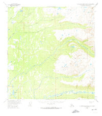
1950 Map of Talkeetna Mountains A-6
USGS Topo · Published 1974About this map
The Sheep Mountains dominate this 1950s landscape, where a network of glacial and snow-fed waterways defines the Matanuska-Susitna region. The Kashwitna River and its North Fork cut through the lower elevations, reflecting the intricate drainage patterns typical of the era's unbridled wilderness. Along the western edge, the map records several significant water bodies including Benka Lake, Emil Lake, and Caswell Lake, which served as critical landmarks for early surveyors and travelers. Numerous smaller tributaries like Montana Creek, Birch Creek, and Sheep Creek thread through the terrain, illustrating the dense hydrologic profile of the Talkeetna range. This survey provides a baseline of the area's natural geography before later development, marked by triangulated survey points such as VABM 3752 Montana and VABM 2511 Sunshine.
Find a feature on this map
22 named features on this map. Tap any name to fly to it.
Don’t see what you’re looking for? This feature index may not catch every label — zoom into the map to look around manually.
Map Details
Editions of this 1950 Talkeetna Mountains A-6 Map
4 editions found
Other maps of this area

1949 · Tyonek
USGS Topo · 1:250,000

1949 · Anchorage D-7
USGS Topo · 1:63,360

1949 · Talkeetna Mountains B-6
USGS Topo · 1:63,360

1949 · Anchorage D-8
USGS Topo · 1:63,360

1950 · Talkeetna Mountains
USGS Topo · 1:250,000

1950 · Talkeetna
USGS Topo · 1:250,000

1950 · Talkeetna Mountains B-5
USGS Topo · 1:63,360

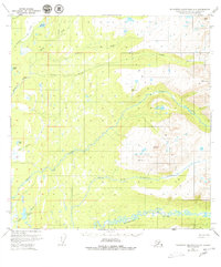
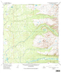
1950 · Talkeetna Mountains A-6
USGS Topo · 1:63,360

1950 · Talkeetna Mountains A-5
USGS Topo · 1:63,360

1951 · Talkeetna
USGS Topo · 1:250,000