
1951 Map of Talkeetna B-1
USGS Topo · Published 1951About this map
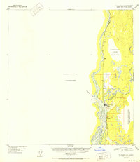
The confluence of three major waterways—the Susitna River, Chulitna River, and Talkeetna River—serves as the central hub of this 1951 survey. Settlement is concentrated along the corridor of The Alaska Railroad, which links the village of Talkeetna to the small siding of Chase further north. This period captures the transition of regional aviation, featuring both an Airstrip and an Airstrip (Old) near the town center.
Find a feature on this map
21 named features on this map. Tap any name to fly to it.
Don’t see what you’re looking for? This feature index may not catch every label — zoom into the map to look around manually.
Map Details
Editions of this 1951 Talkeetna B-1 Map
2 editions found
Other maps of this area

1949 · Talkeetna Mountains B-6
USGS Topo · 1:63,360

1949 · Talkeetna Mountains C-6
USGS Topo · 1:63,360

1950 · Talkeetna Mountains
USGS Topo · 1:250,000

1950 · Talkeetna
USGS Topo · 1:250,000

1950 · Talkeetna Mountains A-6
USGS Topo · 1:63,360

1951 · Talkeetna
USGS Topo · 1:250,000

1951 · Talkeetna C-1
USGS Topo · 1:63,360

1952 · Talkeetna Mountains C-6
USGS Topo · 1:63,360

1952 · Talkeetna Mountains B-6
USGS Topo · 1:63,360

1952 · Talkeetna A-1
USGS Topo · 1:63,360