
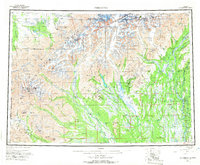
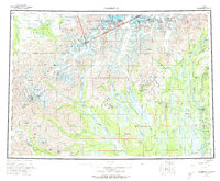
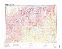
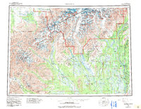
1958 Map of Talkeetna
USGS Topo · Published 1964About this map
Talkeetna serves as a vital junction in the Susitna Valley on this late-1950s survey, where the Alaska Railroad follows the Chulitna River and Susitna River corridors. The settlement of Petersville marks the western reach of the mining and trapping roads, while the Winter Trail and segments of the Old Iditarod Trail thread through the lowlands between the Kahiltna River and the Yentna River.
Find a feature on this map
74 named features on this map. Tap any name to fly to it.
Don’t see what you’re looking for? This feature index may not catch every label — zoom into the map to look around manually.
Map Details
Editions of this 1958 Talkeetna Map
5 editions found
Other maps of this area

1949 · Tyonek
USGS Topo · 1:250,000

1949 · McGrath
USGS Topo · 1:250,000

1949 · Talkeetna Mountains D-6
USGS Topo · 1:63,360

1949 · Talkeetna Mountains B-6
USGS Topo · 1:63,360

1949 · Talkeetna Mountains C-6
USGS Topo · 1:63,360

1949 · Anchorage D-8
USGS Topo · 1:63,360

1949 · Healy A-6
USGS Topo · 1:63,360

1950 · Medfra
USGS Topo · 1:250,000

1950 · McGrath
USGS Topo · 1:250,000

1950 · Talkeetna Mountains
USGS Topo · 1:250,000