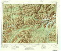
1951 Map of Healy
USGS Topo · Published 1957About this map
Alaska Railroad tracks serve as the industrial spine of this region, connecting coal-rich settlements like Lignite and Suntrana during a period of active interior development. The survey reveals a landscape where the Nenana River and Susitna River systems drain the massive peaks of the Alaska Range, including the towering Mt Deborah and Hess Mtn. Within Mount Mc Kinley National Park, the map documents established wilderness boundaries alongside human enterprise, such as the Dunkel Coal Mine and Golden Zone Mine. Transportation relies on high mountain crossings like Broad Pass and Polychrome Pass, while vast ice fields including Yanert Glacier and West Fork Glacier dominate the eastern reaches. The presence of a remote Airstrip and several sled roads highlights the logistical challenges of the mid-century Alaskan interior near Cantwell.
Find a feature on this map
109 named features on this map. Tap any name to fly to it.
Don’t see what you’re looking for? This feature index may not catch every label — zoom into the map to look around manually.
Map Details
Editions of this 1951 Healy Map
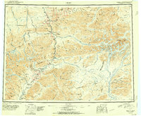
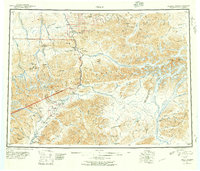
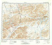
5 editions found

Other maps of this area

1948 · Kantishna River
USGS Topo · 1:250,000

1949 · Talkeetna Mountains D-6
USGS Topo · 1:63,360

1949 · Healy B-4
USGS Topo · 1:63,360

1949 · Big Delta A-6
USGS Topo · 1:63,360

1949 · Healy C-3
USGS Topo · 1:63,360

1949 · Healy B-2
USGS Topo · 1:63,360

1949 · Fairbanks A-2
USGS Topo · 1:63,360

1949 · Fairbanks A-1
USGS Topo · 1:63,360

1949 · Healy A-1
USGS Topo · 1:63,360

1949 · Healy D-1
USGS Topo · 1:63,360