Old Maps of Ester, Alaska for Hiking & Exploration
Hike through history with 12 historic maps of Ester. Explore old trails, ghost towns, and forgotten backroads — perfect for outdoor adventurers and local explorers.
- Rediscover forgotten places: Map out old mining camps, roads, and footpaths that no longer exist on modern maps.
- Layer with modern tools: Combine with LiDAR or satellite views to plan hikes through historical terrain.
- Made for exploration: Popular among hikers, overlanders, and local history lovers.
Use these maps to find adventure and explore the hidden past of Ester.
Ester, AK maps
(12)- 1949 Map of Fairbanks D-3, 1958 Print
 1949 Fairbanks D-31958 Print · USGSThe Alaska interior at the end of the 1940s reveals a landscape defined by the Alaska Railroad and early industrial access. Researchers can trace the path of the Sled Road, find the location of Old Saulich, or locate remote Cabins tucked along Goldstream Creek.
 - 1950 Map of Fairbanks, 1955 Print
 1950 Fairbanks1955 Print · USGSMid-century Interior Alaska centers on the growing hub of Fairbanks and the massive military infrastructure that reshaped the region. Trace the path of the Alaska Railroad past remote stops like Nenana and Dunbar, or locate early aviation and mining landmarks such as Weeks Field and various Placer Mine sites.2 unique versions available
 - 1950 Map of Fairbanks D-3, 1965 Print
 1950 Fairbanks D-31965 Print · USGSThe Fairbanks interior in the early fifties shows a landscape of strategic summits and remote rail outposts. Genealogists and historians can trace the Alaska Railroad past Old Saulich and locate landmarks like the Ester Dome Observatory.4 unique versions available
 - 1951 Map of Fairbanks
 1951 Fairbanks1951 Print · USGSThe Interior of Alaska at the height of the mid-century military buildup shows a landscape of strategic airfields and remote river settlements. Researchers can trace the path of the Alaska Railroad and locate cold-war era sites like Ladd Air Force Base and Minto.2 unique versions available
 - 1952 Map of Fairbanks D-3
 1952 Fairbanks D-31952 Print · USGSInterior Alaska's rail-and-creek geography is detailed here in the early fifties, following the heavy industrial corridor north of Fairbanks. Genealogists and historians can trace the remote cabins and settlements of Saulich and Martin along the winding path of The Alaska Railroad.2 unique versions available
 - 1952 Map of Fairbanks, 1958 Print
 1952 Fairbanks1958 Print · USGSAlaska's interior undergoes a post-war transformation as military installations and rail lines expand across the Tanana Valley. Genealogists and historians can trace the early layout of North Pole, the operations at Ester, and the course of The Alaska Railroad.6 unique versions available
 - 1956 Map of Fairbanks, 1978 Print
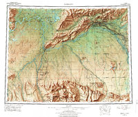 1956 Fairbanks1978 Print · USGSIn the mid-twentieth century, the Fairbanks region emerged as a critical Cold War interior hub. Researchers can trace the expansion of Fairbanks, the rail yards of The Alaska Railroad, and military landmarks like Eielson AFB.3 unique versions available
 - 1964 Map of Fairbanks
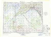 1964 Fairbanks1964 Print · USGSInterior Alaska in the mid-1960s centered on the growing hub of Fairbanks and its strategic military and rail connections. Genealogists and historians can trace the paths of The Alaska Railroad through Nenana or locate Placer Mines near Murphy Dome and Ester.
 - 1992 Map of Fairbanks D-3 SE
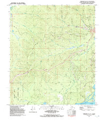 1992 Fairbanks D-3 SE1992 Print · USGSFairbanks and the gold-bearing hills of the Tanana Valley are captured here in the early nineties, showing a landscape defined by mining and subarctic wilderness. Trace the industrial footprint of Ester and its surrounding Tailings, or locate remote Prospects and the Open Pit Mine along the creek beds.
 - 2013 Map of Fairbanks D-3 SE, 2013 Print
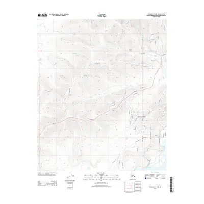 2013 Fairbanks D-3 SE2013 Print · USGSThe community of Ester and the surrounding gold-bearing creeks are captured here in the early twenty-first century. Genealogists and historians can trace the evolving road network from the Old Nenana Hwy to the suburban developments atop Chena Ridge.
 - 2021 Map of Fairbanks D-3 SE, 2021 Print
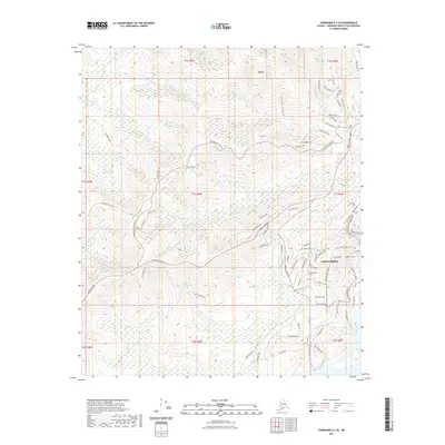 2021 Fairbanks D-3 SE2021 Print · USGSThe gold-mining heritage of the Fairbanks district is visible here in the contemporary landscape of the 2020s. Researchers can trace the evolution of early mining routes into modern paths like Eva Creek Trl and explore the growth of Chena Ridge and Ester.
 - 2024 Map of Fairbanks D-3 SE, 2024 Print
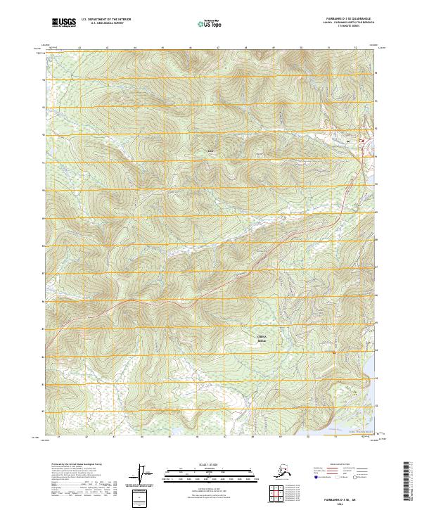 2024 Fairbanks D-3 SE2024 Print · USGSThe mining-rich landscape around Ester and Chena Ridge is captured here in the early twenty-first century. Researchers can trace historic transit routes along the Old Nenana Highway and Old Ridge Trail or explore water systems like Ready Bullion Creek.
End of results
Showing maps 1-12 of 12
Top cities near Ester
Frequently asked questions
- What are the different types of historical maps available for Ester?
- What is the oldest map of Ester?
- Where can I purchase historical maps of Ester for my home or office?
- Where can I download high-res historical maps of Ester?
- Are there historical topographic maps available for Ester?
- Is there historical aerial imagery available for Ester?
- Where are historical maps of Ester sourced from?