Old Maps of Fox River, Alaska
Explore 7 old maps of Fox River, spanning from 1951 to today. These high-resolution historic maps reveal how streets, neighborhoods, landmarks, and natural features evolved over time — perfect for genealogy, metal detecting, research, and local history exploration.
What you can do with these maps:
- See how Fox River changed over time: Compare historical maps to modern-day views to trace roads, homesites, rail lines & more.
- View detailed metadata: Each map includes creators, publishers, year, scale, and archive source.
- Overlay maps with satellite & LiDAR: Visualize the past alongside modern tools to explore terrain & human change.
- Trusted historical sources: Maps sourced from the USGS, Library of Congress, and other archives.
- Access maps your way: View online, download high-res files, or order prints for personal or research use.
Start exploring old maps of Fox River to uncover forgotten places, hidden landmarks, and the deep history beneath your feet.
Fox River, AK maps
(7)- 1951 Map of Seldovia, 1952 Print
 1951 Seldovia1952 Print · USGSThe lower Kenai Peninsula appears here in the early fifties as a network of coastal outposts and maritime landing sites. Researchers can trace early settlements like Seldovia, locate family-named points such as Millers Landing, and explore the limits of the Kenai National Moose Range.8 unique versions available
 - 1951 Map of Seldovia D-3, 1960 Print
 1951 Seldovia D-31960 Print · USGSThe head of Kachemak Bay comes to life in the early fifties, showing a wilderness of braided rivers and remote outposts. Trace the locations of isolated Cabin sites, the Emergency Landing Field, and the boundaries of the Kenai National Moose Range.3 unique versions available
 - 1953 Map of Seldovia D-3, 1955 Print
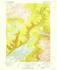 1953 Seldovia D-31955 Print · USGSThe Fox River valley and the Kachemak Bay headwaters are shown in the early fifties during a period of remote wilderness reliance. Researchers can trace isolated Cabin sites, find the old Emergency Landing Field, and map the extent of the Kenai National Moose Range.
 - 1963 Map of Seldovia, 1967 Print
 1963 Seldovia1967 Print · USGSThe lower Kenai Peninsula in the 1960s reveals a rugged coastal frontier where the highway finally meets the sea at Homer. Researchers can trace old settlements and family sites at Happy Valley, Stariski, and the Indian Village near Seldovia.5 unique versions available
 - 1987 Map of Seldovia D-3 SW
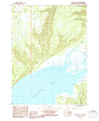 1987 Seldovia D-3 SW1987 Print · USGSThe Kenai Peninsula shoreline meets the head of Kachemak Bay in the late eighties, showing a wilderness landscape shaped by river deltas and tidal flats. Researchers can trace the path of the Winter Trail and the braided outflows of the Fox River and Battle Creek.
 - 2018 Map of Seldovia D-3 SW, 2018 Print
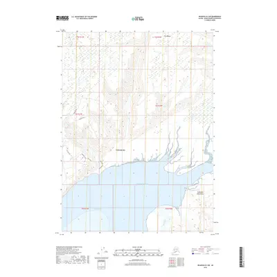 2018 Seldovia D-3 SW2018 Print · USGSThe Kenai Peninsula coastline meets the head of Kachemak Bay in this modern survey of the Fox River area. Researchers can trace local developments along Voznesenka Road and Basargin Road, or locate the Bradley Lake Hydroelectric Project Airstrip near the Martin River marshes.
 - 2024 Map of Seldovia D-3 SW, 2024 Print
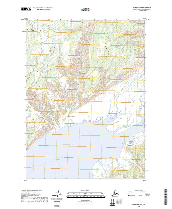 2024 Seldovia D-3 SW2024 Print · USGSThe northern edge of Kachemak Bay comes into focus in this contemporary survey of the Kenai Peninsula. Researchers can trace the coastal road network through Kachemak Silo and locate the Bradley Lake Hydroelectric Project Airstrip near the Fox River delta.
End of results
Showing maps 1-7 of 7
Frequently asked questions
- What are the different types of historical maps available for Fox River?
- What is the oldest map of Fox River?
- Where can I purchase historical maps of Fox River for my home or office?
- Where can I download high-res historical maps of Fox River?
- Are there historical topographic maps available for Fox River?
- Is there historical aerial imagery available for Fox River?
- Where are historical maps of Fox River sourced from?