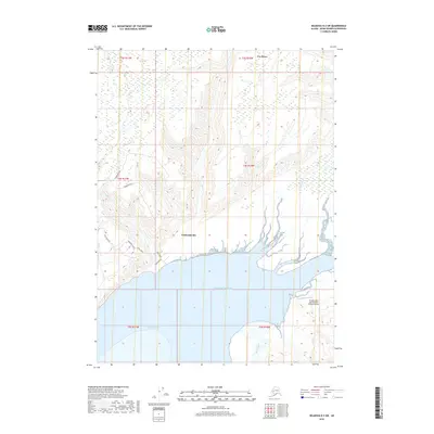
2018 Map of Seldovia D-3 SW
USGS Topo · Published 2018About this map
Kachemak Silo serves as a focal point for this coastal landscape where the Kenai Peninsula meets the waters of the Pacific Ocean. The geography is defined by the broad drainage of the Fox River and the sweeping shoreline of Kachemak Bay, showcasing a complex network of glacial and riverine features including the Martin River and Battle Cr. Transportation in this area is characterized by a high concentration of local routes such as East End Road, Voznesenka Road, and Basargin Road, which connect localized settlements and coastal access points.
Find a feature on this map
24 named features on this map. Tap any name to fly to it.
Don’t see what you’re looking for? This feature index may not catch every label — zoom into the map to look around manually.
Map Details
Editions of this 2018 Seldovia D-3 SW Map
This is the sole edition of this map. No revisions or reprints were ever made.
Other maps of this area

1948 · Seldovia C-4
USGS Topo · 1:63,360

1949 · Seldovia C-4
USGS Topo · 1:62,500

1949 · Seldovia D-4
USGS Topo · 1:63,360

1951 · Seldovia D-4
USGS Topo · 1:63,360

1951 · Seldovia
USGS Topo · 1:250,000

1951 · Seldovia D-3
USGS Topo · 1:63,360

1951 · Seldovia C-3
USGS Topo · 1:63,360

1953 · Seldovia C-3
USGS Topo · 1:63,360
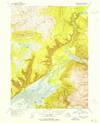
1953 · Seldovia D-3
USGS Topo · 1:63,360
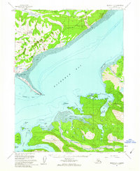
1961 · Seldovia C-4
USGS Topo · 1:63,360