
1951 Map of Seldovia C-3
USGS Topo · Published 1976About this map
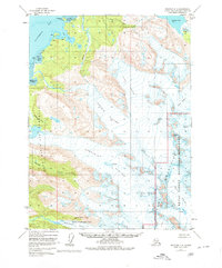
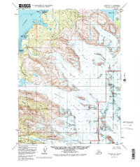
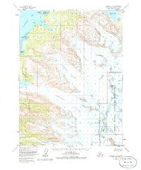
The Kenai Mountains dominate this 1951 aerial survey, where massive ice fields and tidal waters meet along the southern Kenai Peninsula. The landscape is defined by the slow movement of the Portlock Glacier, Dixon Glacier, and Grewingk Glacier, which carve through the high terrain toward Kachemak Bay. At the coast, evidence of human presence is sparse but specific, with scattered cabins located near Bear Cove and the Martin River delta.
Find a feature on this map
27 named features on this map. Tap any name to fly to it.
Don’t see what you’re looking for? This feature index may not catch every label — zoom into the map to look around manually.
Map Details
Editions of this 1951 Seldovia C-3 Map
4 editions found
Other maps of this area

1948 · Seldovia C-4
USGS Topo · 1:63,360

1949 · Seldovia C-4
USGS Topo · 1:62,500

1949 · Seldovia D-4
USGS Topo · 1:63,360

1950 · Seldovia D-2
USGS Topo · 1:63,360

1951 · Seldovia D-4
USGS Topo · 1:63,360

1951 · Seldovia
USGS Topo · 1:250,000

1951 · Seldovia D-3
USGS Topo · 1:63,360

1951 · Seldovia B-4
USGS Topo · 1:63,360

1951 · Seldovia B-2
USGS Topo · 1:63,360

1951 · Seldovia B-3
USGS Topo · 1:63,360