Old Maps of Seldovia, Alaska for Hiking & Exploration
Hike through history with 7 historic maps of Seldovia. Explore old trails, ghost towns, and forgotten backroads — perfect for outdoor adventurers and local explorers.
- Rediscover forgotten places: Map out old mining camps, roads, and footpaths that no longer exist on modern maps.
- Layer with modern tools: Combine with LiDAR or satellite views to plan hikes through historical terrain.
- Made for exploration: Popular among hikers, overlanders, and local history lovers.
Use these maps to find adventure and explore the hidden past of Seldovia.
Seldovia, AK maps
(7)- 1951 Map of Seldovia, 1952 Print
 1951 Seldovia1952 Print · USGSThe lower Kenai Peninsula appears here in the early fifties as a network of coastal outposts and maritime landing sites. Researchers can trace early settlements like Seldovia, locate family-named points such as Millers Landing, and explore the limits of the Kenai National Moose Range.8 unique versions available
 - 1951 Map of Seldovia B-5, 1962 Print
 1951 Seldovia B-51962 Print · USGSCoastal Alaska at the start of the fifties shows a landscape of isolated maritime outposts and narrow inlets. Researchers can locate the early layout of Seldovia, the neighboring Indian Village, and the remote Landing Strip at Jakolof Bay.3 unique versions available
 - 1953 Map of Seldovia B-5, 1955 Print
 1953 Seldovia B-51955 Print · USGSThe southern Kenai Peninsula coast appears in the early fifties as a network of isolated maritime settlements. Researchers can trace the layout of Seldovia, the neighboring Indian Village, and the distant Port Graham before modern expansion changed the shoreline.
 - 1963 Map of Seldovia, 1967 Print
 1963 Seldovia1967 Print · USGSThe lower Kenai Peninsula in the 1960s reveals a rugged coastal frontier where the highway finally meets the sea at Homer. Researchers can trace old settlements and family sites at Happy Valley, Stariski, and the Indian Village near Seldovia.5 unique versions available
 - 1987 Map of Seldovia B-5 NW
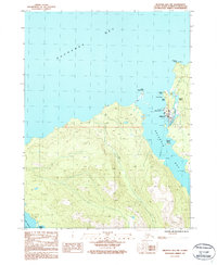 1987 Seldovia B-5 NW1987 Print · USGSSeldovia sits at the edge of the Kenai Peninsula in the 1980s, serving as a vital maritime hub before more modern developments. Researchers can trace the local Cem, the shoreline Landing Strip, and coastal markers like Camel Rock and Watch Point.
 - 2018 Map of Seldovia B-5 NW, 2018 Print
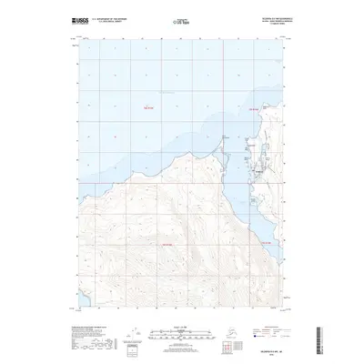 2018 Seldovia B-5 NW2018 Print · USGSSeldovia is shown here on the southern shores of Kachemak Bay in the late twenty-teens. Local researchers can trace the coastal layout of Seldovia and find landmarks like Seldovia Airport, Camel Rock, and Powder Island.
 - 2024 Map of Seldovia B-5 NW, 2024 Print
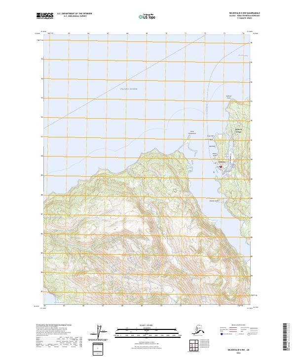 2024 Seldovia B-5 NW2024 Print · USGSCoastal Kenai Peninsula settlement and wilderness meet in this modern survey of the Seldovia area. Researchers can trace the layout of Seldovia Village and Seldovia, identifying local landmarks like the Seldovia Airport and Watch Point along the shore.
End of results
Showing maps 1-7 of 7
Top cities near Seldovia
Frequently asked questions
- What are the different types of historical maps available for Seldovia?
- What is the oldest map of Seldovia?
- Where can I purchase historical maps of Seldovia for my home or office?
- Where can I download high-res historical maps of Seldovia?
- Are there historical topographic maps available for Seldovia?
- Is there historical aerial imagery available for Seldovia?
- Where are historical maps of Seldovia sourced from?