Old Maps of Beaver, Alaska for Academic Research
Study the evolution of Beaver with 8 high-resolution historic maps. Whether you're teaching, researching, or modeling changes in land use, these maps provide essential visual documentation of urban, environmental, and geographic change.
- Analyze long-term change: Track patterns in development, transportation, and natural features.
- Ideal for environmental or urban studies: Support academic projects with primary historical map data.
- Use in the classroom or lab: Educators and researchers rely on these maps to bring historical context to life.
These maps are a powerful tool for teaching, research, and visualizing how Beaver has changed over the decades.
Beaver, AK maps
(8)- 1951 Map of Beaver, 1952 Print
 1951 Beaver1952 Print · USGSThe Alaska interior at the start of the 1950s reveals a wild landscape of river-based settlements and isolated outposts. Trace the remote life along the Yukon River through the Beaver Flats, locating Beaver, the airfield at Stevens, and the site of Purgatory (Aban'd).
 - 1956 Map of Beaver, 1959 Print
 1956 Beaver1959 Print · USGSThe Yukon Flats and the Arctic Circle define this mid-century interior Alaska landscape. Researchers can trace the river's complex sloughs near Beaver and Stevens Village, or locate the historic Dall City site.7 unique versions available
 - 1956 Map of Beaver B-1, 1959 Print
 1956 Beaver B-11959 Print · USGSThe Yukon River floodplain comes to life in the 1950s, centered on the riverfront settlement of Beaver. Genealogists and researchers can trace local landmarks like Joe Devlin Island, the Winter Trail, and the isolated Airstrip.3 unique versions available
 - 1964 Map of Beaver
 1964 Beaver1964 Print · USGSThe Yukon River interior comes alive in this mid-sixties survey, showing the vast network of sloughs and peaks near the Arctic Circle. Trace the seasonal Winter Trail through remote outposts like Beaver, Stevens Village, and the landings at Caribou Bar.
 - 2017 Map of Beaver B-1 SW, 2017 Print
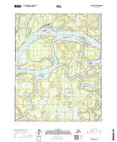 2017 Beaver B-1 SW2017 Print · USGSThe community of Beaver stands as a vital outpost along the Yukon River in the heart of the Alaska interior. Researchers can trace the local infrastructure near Beaver Airport and explore the vast water network of Joe Guay Slough and Fish Creek.
 - 2017 Map of Beaver B-1 SE, 2017 Print
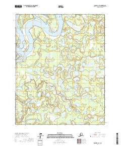 2017 Beaver B-1 SE2017 Print · USGSThe Yukon-Koyukuk region in the early twenty-first century remains a vast landscape of interconnected waterways and wetlands. Trace the intricate drainage patterns of Yukon Flats along the Yukon River, Beaver Creek, and Mud Lakes.
 - 2017 Map of Beaver B-1 NE, 2017 Print
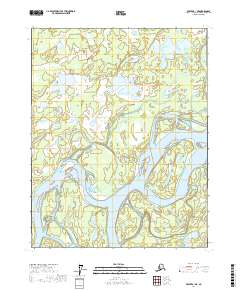 2017 Beaver B-1 NE2017 Print · USGSThe interior Alaska wilderness is captured in the late 2010s, showing the intricate hydrology of the Yukon-Koyukuk region. Researchers can trace the braided channels of the Yukon River and study the remote reaches of Twelvemile Lake and Joe Devlin Island.
 - 2017 Map of Beaver B-1 NW, 2017 Print
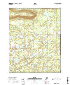 2017 Beaver B-1 NW2017 Print · USGSThe interior Alaskan wilderness near the Yukon River is captured here in 2017, showing a complex network of wetlands and waterways. Researchers can trace the path of the Government Road as it passes Argo Bill Lake and the meandering Joe Guay Slough.
End of results
Showing maps 1-8 of 8
Frequently asked questions
- What are the different types of historical maps available for Beaver?
- What is the oldest map of Beaver?
- Where can I purchase historical maps of Beaver for my home or office?
- Where can I download high-res historical maps of Beaver?
- Are there historical topographic maps available for Beaver?
- Is there historical aerial imagery available for Beaver?
- Where are historical maps of Beaver sourced from?