Old Maps of Kallands, Alaska for Metal Detecting
Plan your next treasure hunt with 4 historic maps of Kallands. Find old homesites, ghost towns, trails, and gathering spots that may be lost to time — perfect for identifying promising metal detecting locations.
- Locate forgotten sites: Uncover places like long-lost settlements, abandoned rail lines, or gathering spots.
- Plan better hunts: Use map overlays combined with LiDAR or satellite views to narrow in on historically rich areas.
- Made for detectorists: Thousands of hobbyists use these maps to discover relics, coins, and hidden history.
Use these historic maps to boost your research and find new opportunities beneath the surface of Kallands.
Kallands, AK maps
(4)- 1951 Map of Melozitna, 1952 Print
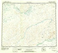 1951 Melozitna1952 Print · USGSThe Yukon and Koyukuk Rivers converge in this interior Alaskan wilderness during the mid-twentieth century. Researchers can locate remote outposts like Birches and Kallands or trace early mining activity at the Placer Mine near Gold Mountain.2 unique versions available
 - 1952 Map of Melozitna A-1, 1958 Print
 1952 Melozitna A-11958 Print · USGSThe interior of Alaska along the Yukon River is captured here during the early 1950s, showing a landscape defined by shifting waterways and isolated river life. Genealogists and historians can locate remote outposts such as Kallands and Birches or trace the geography of The Palisades and Cronin Island.2 unique versions available
 - 1956 Map of Melozitna, 1961 Print
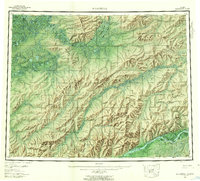 1956 Melozitna1961 Print · USGSInterior Alaska in the mid-fifties is captured here as a vast network of rivers and seasonal fishing grounds. Researchers can trace traditional sites like Twelvemile Fishing Camp, the remote settlement of Utopia, and the geothermal Melozitna Hot Springs.5 unique versions available
 - 2016 Map of Melozitna A-1 NE, 2016 Print
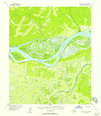
 2016 Melozitna A-1 NE2016 Print · USGSThe Yukon River corridor near Kallands is captured here in the early twenty-first century as it weaves through the Alaskan interior. Researchers can trace the river's path past Brant Bluff and several large named islands including Tremel Island.
End of results
Showing maps 1-4 of 4
Frequently asked questions
- What are the different types of historical maps available for Kallands?
- What is the oldest map of Kallands?
- Where can I purchase historical maps of Kallands for my home or office?
- Where can I download high-res historical maps of Kallands?
- Are there historical topographic maps available for Kallands?
- Is there historical aerial imagery available for Kallands?
- Where are historical maps of Kallands sourced from?