Old Maps of Maverick, Arizona for Academic Research
Study the evolution of Maverick with 11 high-resolution historic maps. Whether you're teaching, researching, or modeling changes in land use, these maps provide essential visual documentation of urban, environmental, and geographic change.
- Analyze long-term change: Track patterns in development, transportation, and natural features.
- Ideal for environmental or urban studies: Support academic projects with primary historical map data.
- Use in the classroom or lab: Educators and researchers rely on these maps to bring historical context to life.
These maps are a powerful tool for teaching, research, and visualizing how Maverick has changed over the decades.
Maverick, AZ maps
(11)- 1954 Map of Clifton, 1968 Print
 1954 Clifton1968 Print · USGSThe high timber and copper country of the Arizona-New Mexico border is captured here during the mid-fifties. Genealogists and historians can trace family holdings like the Double Circle Ranch or study the industrial footprint of the Smelting Plant at Clifton.3 unique versions available
 - 1957 Map of Clifton
 1957 Clifton1957 Print · USGSThe copper-mining district around Clifton and Morenci meets the high timberlands of the Mogollon Rim during the mid-1950s. Genealogists and researchers can trace family-named outposts and remote mountain settlements like Reserve, Stargo, and Fort Thomas.
 - 1958 Map of Clifton
 1958 Clifton1958 Print · USGSThe rugged high country of the Arizona-New Mexico border comes into focus in the mid-fifties, showing a landscape of mining camps and forest outposts. Genealogists and researchers can trace old settlements and remote sites like Mogollon, East Fork Mission, and the Tidwell Mine.
 - 1962 Map of Clifton
 1962 Clifton1962 Print · USGSThe copper-rich Arizona-New Mexico borderlands come into focus in the early sixties, centered on the mining complexes of Morenci and Clifton. Researchers can trace the Southern Pacific rail lines and locate remote outposts like Honeymoon and the Double Circle Ranch.
 - 1967 Map of Maverick, 1971 Print
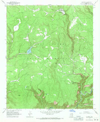 1967 Maverick1971 Print · USGSHigh in the Apache mountains during the mid-sixties, this survey captures the intersection of the Fort Apache and San Carlos reservations. Researchers can locate remote outposts like Pair o'Dice Ranch and trace the complex waterways of Pacheta Creek and Tonto Lake.
 - 1978 Map of Maverick
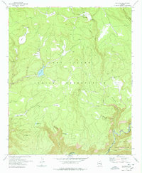 1978 Maverick1978 Print · USGSThe high cienegas and reservation lands of eastern Arizona are documented here during the late seventies. Researchers can trace the cattle and timber history of the region through landmarks like Odart Ranch, Maverick, and the waters of Tonto Lake.
 - 1981 Map of Nutrioso, 1996 Print
 1981 Nutrioso1996 Print · USGSEastern Arizona and the New Mexico borderlands are captured here in the early eighties, showcasing a vast expanse of national forest and tribal lands. Researchers can trace the high-country routes between Nutrioso, Alpine, and Whiteriver, or locate landmarks along the Mogollon Rim and Black River.2 unique versions available
 - 2011 Map of Maverick, 2011 Print
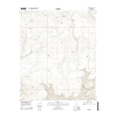
 2011 Maverick2011 Print · USGSCovers Maverick, including Apache County, Graham County, and other nearby areas
 - 2014 Map of Maverick, 2014 Print
 2014 Maverick2014 Print · USGSCovers Maverick, including Apache County, Graham County, and other nearby areas
 - 2018 Map of Maverick, 2018 Print
 2018 Maverick2018 Print · USGSCovers Maverick, including Apache County, Graham County, and other nearby areas
 - 2021 Map of Maverick, 2021 Print
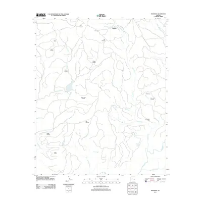
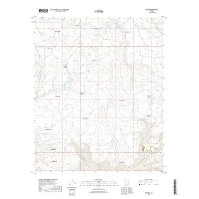
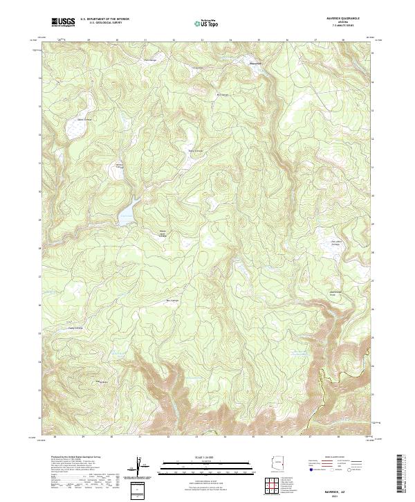 2021 Maverick2021 Print · USGSThe Maverick region of the White Mountains comes alive in this contemporary survey of its high-country wetlands and cattle tanks. Researchers can trace the drainages of Tonto Lake and the Black River, or locate remote landmarks like Paddy Butte and Pair o'Dice Cienega.
End of results
Showing maps 1-11 of 11
Frequently asked questions
- What are the different types of historical maps available for Maverick?
- What is the oldest map of Maverick?
- Where can I purchase historical maps of Maverick for my home or office?
- Where can I download high-res historical maps of Maverick?
- Are there historical topographic maps available for Maverick?
- Is there historical aerial imagery available for Maverick?
- Where are historical maps of Maverick sourced from?