Old Maps of Woodland Valley Ranch, Arizona for Academic Research
Study the evolution of Woodland Valley Ranch with 12 high-resolution historic maps. Whether you're teaching, researching, or modeling changes in land use, these maps provide essential visual documentation of urban, environmental, and geographic change.
- Analyze long-term change: Track patterns in development, transportation, and natural features.
- Ideal for environmental or urban studies: Support academic projects with primary historical map data.
- Use in the classroom or lab: Educators and researchers rely on these maps to bring historical context to life.
These maps are a powerful tool for teaching, research, and visualizing how Woodland Valley Ranch has changed over the decades.
Woodland Valley Ranch, AZ maps
(12)- 1886 Map of St Johns
 1886 St Johns1886 Print · USGSApache County in the 1880s was a landscape of emerging pioneer outposts and high-plateau cattle ranching. Researchers can trace the early footprints of settlements like St Johns and Erastus or locate the original path of the Atlantic and Pacific Railroad.
 - 1892 Map of St Johns
 1892 St Johns1892 Print · USGSArizona's eastern frontier is documented here in the late nineteenth century as cattle ranching and early settlements followed the path of the river. Genealogists and historians can trace the foundations of St Johns and Springerville or locate long-standing sites like Erastus and Windmill Ranch.5 unique versions available
 - 1954 Map of Saint Johns, 1968 Print
 1954 Saint Johns1968 Print · USGSThe high plateau of the Arizona-New Mexico border is captured here in the mid-1950s, showing the intersection of tribal lands and national forests. Researchers can trace the cattle country and mountain outposts from Saint Johns to Pie Town and McNary.3 unique versions available
 - 1957 Map of Saint Johns
 1957 Saint Johns1957 Print · USGSThe Arizona-New Mexico borderlands are captured here in the mid-fifties, showing the high-country settlements and federal lands before modern development. Genealogists and historians can trace old homesteads and landmarks like the Red Hill Post Office, Lyman Reservoir, and the mountain communities of Eagar and Springerville.
 - 1958 Map of Saint Johns
 1958 Saint Johns1958 Print · USGSEastern Arizona and western New Mexico appear here in the late fifties, showcasing the high plateau and forest landscapes along the Continental Divide. Researchers can trace early ranching routes and water systems like Lyman Reservoir or locate remote settlements such as Fence Lake and Atarque.2 unique versions available
 - 1962 Map of Saint Johns
 1962 Saint Johns1962 Print · USGSEastern Arizona and the New Mexico borderlands come alive in the early sixties, showing a landscape of high-plateau ranching and early national monuments. Trace the path of the Atchison Topeka and Santa Fe or locate old water sources like Salado Springs and Lyman Reservoir.
 - 1978 Map of Valle Bonito NE, 1979 Print
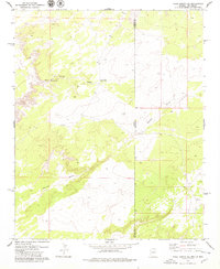 1978 Valle Bonito NE1979 Print · USGSThe Arizona and New Mexico state line bisects this high-desert landscape as it appeared in the late seventies. Researchers can locate remote ranching landmarks like Lynch Ranch and the water source at Pine Springs Well along Pine Springs Wash.2 unique versions available
 - 1981 Map of Saint Johns, 1996 Print
 1981 Saint Johns1996 Print · USGSNortheastern Arizona's high plateau comes into focus in the early 1980s, centered on the settlement of St Johns. Researchers can trace the Atchison Topeka and Santa Fe railroad through Adamana and locate landmarks like Lyman Lake and Zion Reservoir.
 - 2011 Map of Valle Bonito NE, 2011 Print
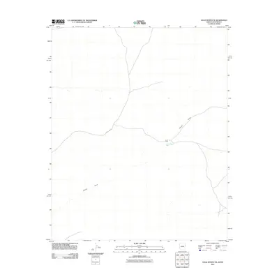 2011 Valle Bonito NE2011 Print · USGSThe Arizona-New Mexico borderlands in the early twenty-first century reveal a landscape of vast ranching tracts and desert drainage. Researchers can trace the layout of the Lynch Ranch and the winding path of the Aguaje Draw near the state line.2 unique versions available
 - 2014 Map of Valle Bonito NE, 2014 Print
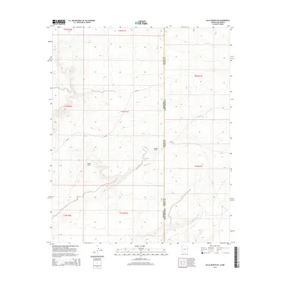 2014 Valle Bonito NE2014 Print · USGSThe high-desert borderlands of Arizona and New Mexico appear in 2014, showing a landscape defined by ranching and natural water. Researchers can trace the path of the Zuni Trl and locate remote features like Pine Springs and the drainage of Aguaje Draw.
 - 2018 Map of Valle Bonito NE, 2018 Print
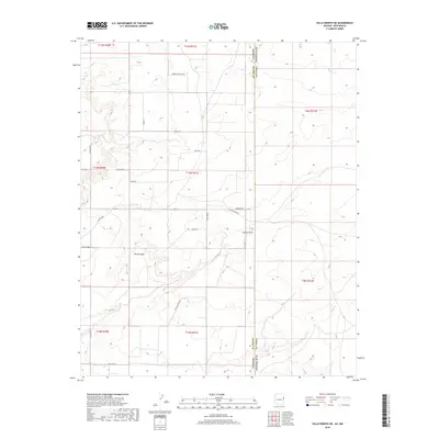 2018 Valle Bonito NE2018 Print · USGSThe Arizona-New Mexico state line meets the high-desert plateaus of Apache County in this recent survey of the rural Southwest. Researchers can trace the development of Bonito Valle through a network of local roads and natural landmarks like Pine Springs and Aguaje Draw.
 - 2021 Map of Valle Bonito NE, 2021 Print
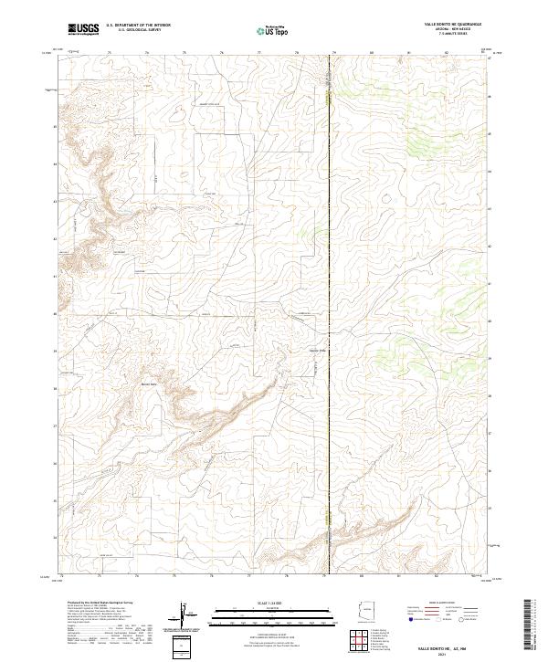 2021 Valle Bonito NE2021 Print · USGSThe Arizona and New Mexico borderlands come alive in this recent survey of the high plateau country. Researchers can trace remote property access via Old Ranch Rd and Tractors Trl, or locate landmarks like Bonito Valle and Pine Springs.
End of results
Showing maps 1-12 of 12
Top cities near Woodland Valley Ranch
Frequently asked questions
- What are the different types of historical maps available for Woodland Valley Ranch?
- What is the oldest map of Woodland Valley Ranch?
- Where can I purchase historical maps of Woodland Valley Ranch for my home or office?
- Where can I download high-res historical maps of Woodland Valley Ranch?
- Are there historical topographic maps available for Woodland Valley Ranch?
- Is there historical aerial imagery available for Woodland Valley Ranch?
- Where are historical maps of Woodland Valley Ranch sourced from?