Old Maps of Hereford, Arizona for Metal Detecting
Plan your next treasure hunt with 13 historic maps of Hereford. Find old homesites, ghost towns, trails, and gathering spots that may be lost to time — perfect for identifying promising metal detecting locations.
- Locate forgotten sites: Uncover places like long-lost settlements, abandoned rail lines, or gathering spots.
- Plan better hunts: Use map overlays combined with LiDAR or satellite views to narrow in on historically rich areas.
- Made for detectorists: Thousands of hobbyists use these maps to discover relics, coins, and hidden history.
Use these historic maps to boost your research and find new opportunities beneath the surface of Hereford.
Hereford, AZ maps
(13)- 1914 Map of Hereford
 1914 Hereford1914 Print · USGSUpper Cochise County reveals its early ranching and mining character just before the Great War. Genealogists and historians can trace remote mountain settlements like Sunnyside and Hamburg or the railway path of the El Paso and Southwestern.3 unique versions available
 - 1932 Map of Stark
 1932 Stark1932 Print · USGSThe Arizona-Sonora borderlands come alive in this early 1930s survey, documenting the ranches and rail stops along the San Pedro River. Genealogists and historians can trace family locations at Radcliffe, Hereford, and the Canton Ranch.
 - 1952 Map of Hereford, 1955 Print
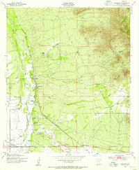 1952 Hereford1955 Print · USGSThe ranching country of southern Cochise County comes into focus in this early 1950s survey of the San Pedro River valley. Researchers can trace historic family holdings like the Ullrich Ranch and Stagg Ranch alongside the Southern Pacific Railroad.4 unique versions available
 - 1952 Map of Hereford, 1959 Print
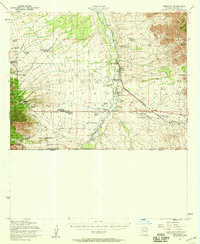 1952 Hereford1959 Print · USGSCochise County ranching and rail life are on full display in the early fifties, from the valley floor to the national forest peaks. Genealogists can trace family holdings like Smiling Tiger Ranch and Rancho Del Rio or locate the Cem near Palominas.2 unique versions available
 - 1956 Map of Nogales, 1963 Print
 1956 Nogales1963 Print · USGSSouthern Arizona in the mid-fifties is captured here from the Papago tribal lands to the San Pedro valley. Genealogists and historians can trace border settlements like Sasabe, the legacy of Tombstone, and old mining sites including the Mary G Mine.4 unique versions available
 - 1958 Map of Nogales
 1958 Nogales1958 Print · USGSSouthern Arizona in the late fifties was a landscape of international borders and high-desert outposts, dominated by the Huachuca Mountains and the Papago Indian Reservation. Local historians can trace old mining camps like Ruby and Greaterville or locate historic military grounds at the Fort Huachuca Military Reservation.
 - 1959 Map of Nogales
 1959 Nogales1959 Print · USGSThe Southern Arizona borderlands appear in the late fifties as a complex landscape of military ranges, tribal lands, and high-desert mining towns. Local historians can trace the Southern Pacific rail lines connecting Tombstone and Benson or locate family ranches such as Canoa Ranch.
 - 1994 Map of Nogales
 1994 Nogales1994 Print · USGSThe Arizona-Sonora borderlands come into focus in the mid-1990s, showcasing the intricate Spanish land grants and mining districts that shaped the region. Genealogists and historians can trace old mining camps like Washington Camp and Duquesne or locate the historic Mowry Mine.2 unique versions available
 - 1996 Map of Hereford, 2002 Print
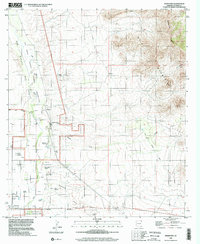 1996 Hereford2002 Print · USGSThe San Pedro River valley in the late twentieth century reveals a landscape defined by deep-rooted ranching and river conservation. Trace family histories at the Hereford Dairy Ranch or Double Mill Ranch, and follow the Old Railroad Grade through the valley.
 - 2011 Map of Hereford, 2011 Print
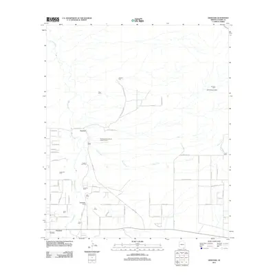 2011 Hereford2011 Print · USGSCochise County ranching culture and the San Pedro River valley are captured here in the early 2000s. Researchers can locate family-named land holdings like Dinwiddie Ranch and Wiek Ranch or trace the rural layout of Hereford and Palominas.
 - 2014 Map of Hereford, 2014 Print
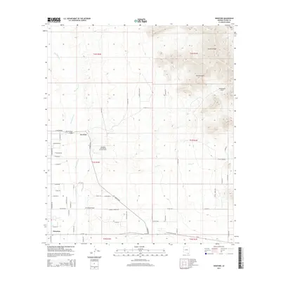 2014 Hereford2014 Print · USGSCochise County's high-desert landscape is captured here in the early twenty-first century, showing the rural communities along the San Pedro River. Genealogists and local historians can locate property along S Palominas Rd or trace the reach of the Mule Mountains and Escabrosa Ridge.
 - 2018 Map of Hereford, 2018 Print
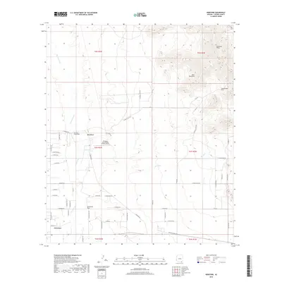 2018 Hereford2018 Print · USGSCochise County's high-desert plains and river valleys come to life in this survey of the San Pedro basin. Genealogists and researchers can trace rural development near Hereford and Palominas, locating property near the San Pedro River and the Mule Mountains.
 - 2021 Map of Hereford, 2021 Print
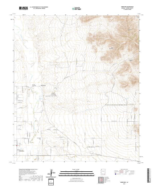 2021 Hereford2021 Print · USGSCochise County's river valley and high desert ridges are documented here during the early twenty-first century. Genealogists and local historians can trace modern rural settlements like Hereford and Palominas, alongside landmarks such as Hereford Road Bridge.
End of results
Showing maps 1-13 of 13
Top cities near Hereford
Frequently asked questions
- What are the different types of historical maps available for Hereford?
- What is the oldest map of Hereford?
- Where can I purchase historical maps of Hereford for my home or office?
- Where can I download high-res historical maps of Hereford?
- Are there historical topographic maps available for Hereford?
- Is there historical aerial imagery available for Hereford?
- Where are historical maps of Hereford sourced from?