2000s (21st Century) Maps of Flagstaff, Arizona
Explore 16 historic maps of Flagstaff from the 2000s (21st Century). These maps offer a rare glimpse into what life looked like during the 2000s — showing old roads, neighborhoods, homes, and landmarks that have changed or disappeared over time.
Whether you're researching your family's past, planning a metal detecting trip, or studying how Flagstaff's landscape evolved across the 2000s, these high-resolution maps are a powerful tool for exploring the history of this region.
- Focus on a specific era: All maps on this page are from the 2000s, giving you a focused view of this time period.
- See what’s changed: Compare century-old streets, trails, and buildings to today's modern landscape using overlays and satellite layers.
- Research with precision: Use these maps for genealogy, historical research, land use analysis, or educational projects.
- View, download, or print: Maps are fully viewable online in high resolution, and can be downloaded or printed for your own records.
Start exploring Flagstaff's history through authentic maps from the 2000s. This is your window into the past.
Flagstaff, AZ maps
(16)- 2011 Map of Flagstaff East, 2011 Print
 2011 Flagstaff East2011 Print · USGSCovers Flagstaff, including Coconino County, United States, and other nearby areas
 - 2011 Map of Mountainaire, 2011 Print
 2011 Mountainaire2011 Print · USGSCovers Flagstaff, including Kachina Village, Mountainaire, and other nearby areas
 - 2011 Map of Lower Lake Mary, 2011 Print
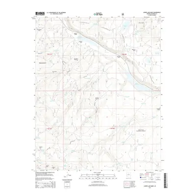
 2011 Lower Lake Mary2011 Print · USGSCovers Flagstaff, including Mountainaire, Coconino County, and other nearby areas
 - 2011 Map of Flagstaff West, 2011 Print
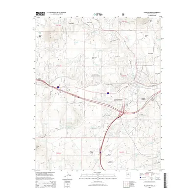
 2011 Flagstaff West2011 Print · USGSCovers Flagstaff, including Mountian Dell, Coconino County, and other nearby areas
 - 2014 Map of Lower Lake Mary, 2014 Print
 2014 Lower Lake Mary2014 Print · USGSCovers Flagstaff, including Mountainaire, Coconino County, and other nearby areas
 - 2014 Map of Flagstaff West, 2014 Print
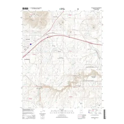
 2014 Flagstaff West2014 Print · USGSCovers Flagstaff, including Mountian Dell, Coconino County, and other nearby areas
 - 2014 Map of Flagstaff East, 2014 Print
 2014 Flagstaff East2014 Print · USGSCovers Flagstaff, including Coconino County, United States, and other nearby areas
 - 2014 Map of Mountainaire, 2014 Print
 2014 Mountainaire2014 Print · USGSCovers Flagstaff, including Kachina Village, Mountainaire, and other nearby areas
 - 2018 Map of Flagstaff West, 2018 Print
 2018 Flagstaff West2018 Print · USGSCovers Flagstaff, including Mountian Dell, Coconino County, and other nearby areas
 - 2018 Map of Lower Lake Mary, 2018 Print
 2018 Lower Lake Mary2018 Print · USGSCovers Flagstaff, including Mountainaire, Coconino County, and other nearby areas
 - 2018 Map of Flagstaff East, 2018 Print
 2018 Flagstaff East2018 Print · USGSCovers Flagstaff, including Coconino County, United States, and other nearby areas
 - 2018 Map of Mountainaire, 2018 Print
 2018 Mountainaire2018 Print · USGSCovers Flagstaff, including Kachina Village, Mountainaire, and other nearby areas
 - 2021 Map of Lower Lake Mary, 2021 Print
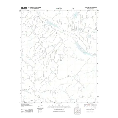
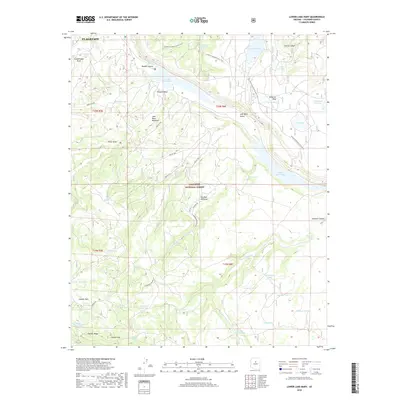
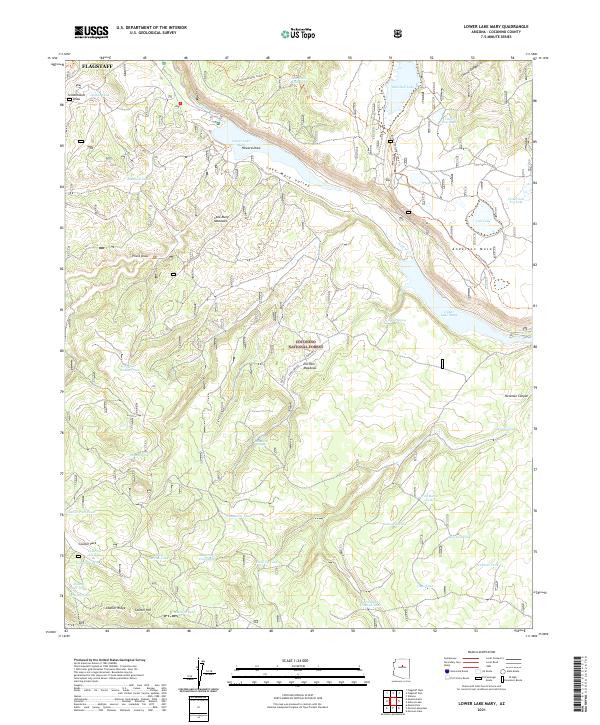 2021 Lower Lake Mary2021 Print · USGSSoutheast of Flagstaff in the early twenty-first century, this landscape focuses on the vital water systems of the Lake Mary Valley. Trace the Arizona National Scenic Trl as it crosses Anderson Mesa and passes remote landmarks like Newman Canyon and Marshall Lake.
 - 2021 Map of Mountainaire, 2021 Print
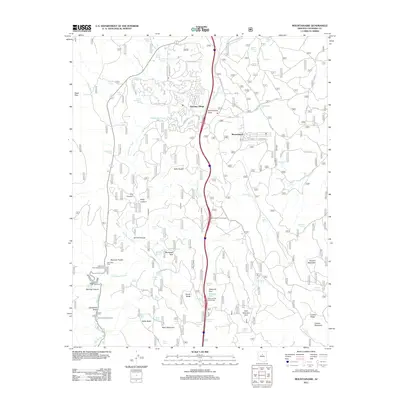
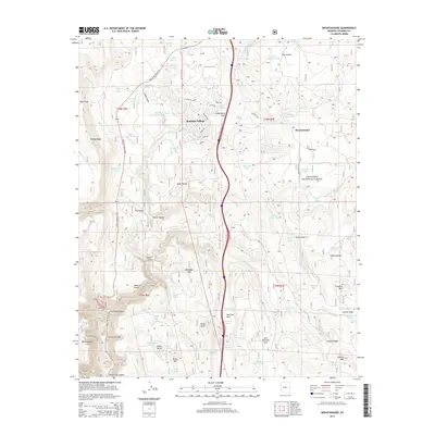
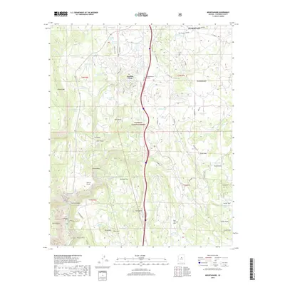
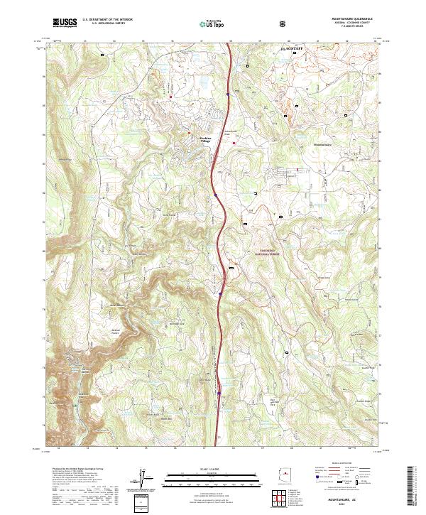 2021 Mountainaire2021 Print · USGSThe forest south of Flagstaff was transitioning toward modern residential enclaves in the early 2020s. Genealogists and historians can trace family-named landmarks like Ritter Mtn or find old water sources such as O'Neil Spring and Gates Cabin Tank.
 - 2021 Map of Flagstaff West, 2021 Print
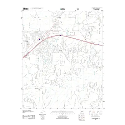
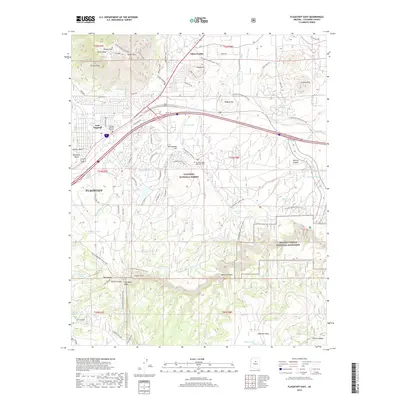
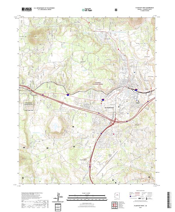 2021 Flagstaff West2021 Print · USGSFlagstaff's high-altitude urban core and the surrounding national forest are captured here during a period of sustained growth. Researchers can trace the development of the University Campus and find historic sites like Citizens Cem and the Coconino County Courthouse.
 - 2021 Map of Flagstaff East, 2021 Print
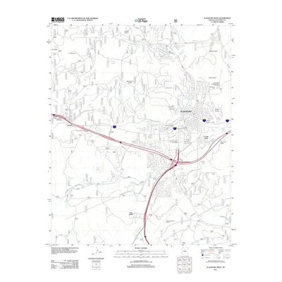
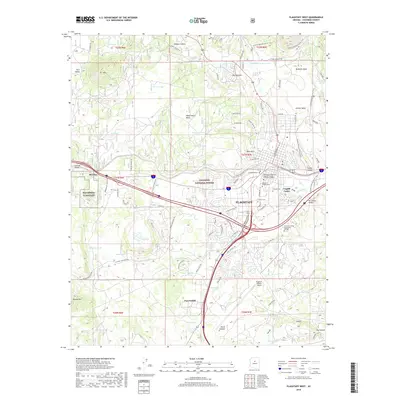
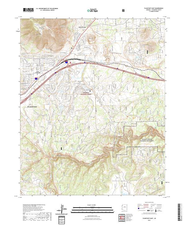 2021 Flagstaff East2021 Print · USGSFlagstaff and the surrounding Coconino National Forest are captured here in the early twenty-first century as urban growth meets ancient landmarks. Researchers can trace the proximity of the prehistoric Elden Pueblo to modern East Flagstaff or locate unique features like the Bottomless Pit and Fisher Point.
End of results
Showing maps 1-16 of 16
Top cities near Flagstaff
- Doney Park historical maps
- Kachina Village historical maps
- Timberline-Fernwood historical maps
- Fort Valley historical maps
- Mountain View Ranches historical maps
- Munds Park historical maps
See more
Top neighborhoods of Flagstaff
- Mountian Dell historical maps
- Valley Crest historical maps
- East Flagstaff historical maps
- Coyote Springs historical maps
- Lynwood historical maps
- Cheshire historical maps
See more
Frequently asked questions
- What are the different types of historical maps available for Flagstaff?
- What is the oldest map of Flagstaff?
- Where can I purchase historical maps of Flagstaff for my home or office?
- Where can I download high-res historical maps of Flagstaff?
- Are there historical topographic maps available for Flagstaff?
- Is there historical aerial imagery available for Flagstaff?
- Where are historical maps of Flagstaff sourced from?