Old Maps of Kaibito, Arizona
Explore 26 old maps of Kaibito, spanning from 1886 to today. These high-resolution historic maps reveal how streets, neighborhoods, landmarks, and natural features evolved over time — perfect for genealogy, metal detecting, research, and local history exploration.
What you can do with these maps:
- See how Kaibito changed over time: Compare historical maps to modern-day views to trace roads, homesites, rail lines & more.
- View detailed metadata: Each map includes creators, publishers, year, scale, and archive source.
- Overlay maps with satellite & LiDAR: Visualize the past alongside modern tools to explore terrain & human change.
- Trusted historical sources: Maps sourced from the USGS, Library of Congress, and other archives.
- Access maps your way: View online, download high-res files, or order prints for personal or research use.
Start exploring old maps of Kaibito to uncover forgotten places, hidden landmarks, and the deep history beneath your feet.
Kaibito, AZ maps
(26)- 1886 Map of Echo Cliffs
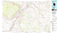
 1886 Echo Cliffs1886 Print · USGSArizona's northern frontier remains a rugged expanse of high plateaus and deep river canyons during the late nineteenth century. Researchers can trace early travel routes through Lee Ferry and locate vital water stops like Jacobs Pools and Bitter Spring.2 unique versions available
 - 1891 Map of Echo Cliffs
 1891 Echo Cliffs1891 Print · USGSNorthern Arizona's river corridors and canyonlands appear here in the late nineteenth century, centered on the vital river crossing at Lee Ferry. Trace early frontier settlements like Tuba City and remote watering holes such as Navajo Spring and Jacobs Pools.8 unique versions available
 - 1956 Map of Marble Canyon, 1964 Print
 1956 Marble Canyon1964 Print · USGSNorthern Arizona and the borderlands of Utah are mapped here in the mid-fifties, showing a landscape defined by traditional trading posts and early uranium mining. Trace old routes between Tuba City and Kayenta, and locate historic sites like Lees Ferry and Inscription House Trading Post.4 unique versions available
 - 1959 Map of Marble Canyon
 1959 Marble Canyon1959 Print · USGSNorthern Arizona in the late fifties is a vast landscape of tribal lands and desert plateaus defined by the carving of the Colorado River. Trace family roots and regional history at Tuba City, the Chilchinbito Trading Post, or the ancient Inscription House Ruin.
 - 1961 Map of Marble Canyon
 1961 Marble Canyon1961 Print · USGSThe northern Arizona desert in the early sixties reveals a landscape of tribal lands and canyon crossings. Trace the old river life at Lees Ferry, find the Uranium mill at Tuba City, and locate the iconic Elephant Feet landmarks.
 - 1981 Map of Horsethief Mesa, 1982 Print
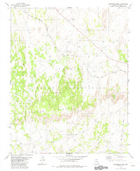
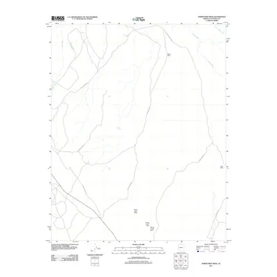
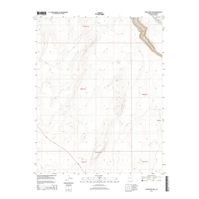
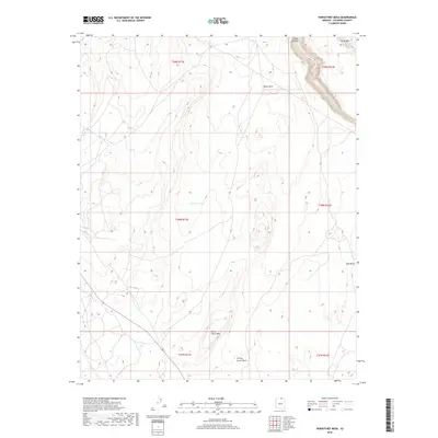
 1981 Horsethief Mesa1982 Print · USGSThe high plateau of the Navajo Indian Reservation is captured here in the early 1980s, showing a landscape defined by water and rock. Researchers can trace land use through features like Red Bluff Windmill, the eponymous Horsethief Mesa, and several scattered Corral sites.
 - 1981 Map of Kaibito, 1982 Print
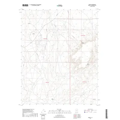
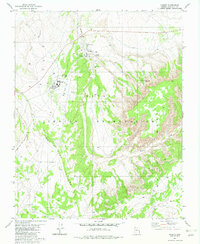 1981 Kaibito1982 Print · USGSIn the Coconino County highlands during the early eighties, this area shows the essential hubs of the Navajo community. Genealogists and historians can trace the foundations of local education and life at the Old Kaibito Boarding Sch, the Rodeo Grounds, and Juniper Well.
 - 1982 Map of White Hill
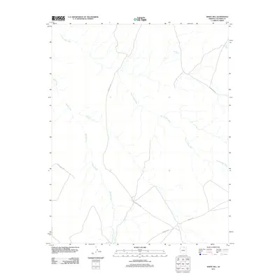
 1982 White Hill1982 Print · USGSThe high mesas of the Navajo Nation are documented in the early eighties as a working landscape of ranching and remote outposts. Researchers can locate specific water improvements and grazing landmarks like the Lined Trees Windmill, Dejolie Tank, and several corrals.
 - 1982 Map of Arrowhead Mesa
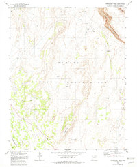
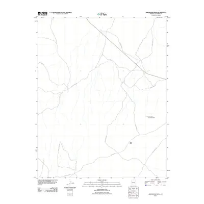
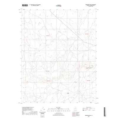
 1982 Arrowhead Mesa1982 Print · USGSCoconino County is captured in the early eighties as a corridor of transit and traditional lands within the Navajo Indian Reservation. Trace the path of the Black Mesa and Lake Powell rail line past Wind Rock and the Mormon Ridges.
 - 1984 Map of Glen Canyon Dam
 1984 Glen Canyon Dam1984 Print · USGSThe Colorado River corridor near the Utah border is captured here in the mid-eighties, centered on the rise of modern infrastructure in the desert. Researchers can trace the development of Page alongside historic sites like Lees Ferry and the Copper Mine Trading Post.2 unique versions available
 - 2011 Map of Arrowhead Mesa, 2011 Print
 2011 Arrowhead Mesa2011 Print · USGSCovers Kaibito, including Coconino County, United States, and other nearby areas
 - 2011 Map of Horsethief Mesa, 2011 Print
 2011 Horsethief Mesa2011 Print · USGSCovers Kaibito, including Coconino County, United States, and other nearby areas
 - 2011 Map of White Hill, 2011 Print
 2011 White Hill2011 Print · USGSCovers Kaibito, including Coconino County, United States, and other nearby areas
 - 2011 Map of Kaibito, 2011 Print
 2011 Kaibito2011 Print · USGSCovers Kaibito, including Kaibeto, Coconino County, and other nearby areas
 - 2014 Map of Kaibito, 2014 Print
 2014 Kaibito2014 Print · USGSCovers Kaibito, including Kaibeto, Coconino County, and other nearby areas
 - 2014 Map of Arrowhead Mesa, 2014 Print
 2014 Arrowhead Mesa2014 Print · USGSCovers Kaibito, including Coconino County, United States, and other nearby areas
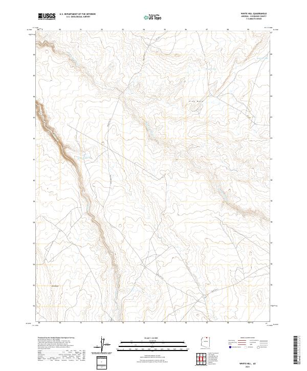
 - 2014 Map of White Hill, 2014 Print
 2014 White Hill2014 Print · USGSCovers Kaibito, including Coconino County, United States, and other nearby areas
 - 2014 Map of Horsethief Mesa, 2014 Print
 2014 Horsethief Mesa2014 Print · USGSCovers Kaibito, including Coconino County, United States, and other nearby areas
 - 2018 Map of Arrowhead Mesa, 2018 Print
 2018 Arrowhead Mesa2018 Print · USGSCovers Kaibito, including Coconino County, United States, and other nearby areas
 - 2018 Map of Kaibito, 2018 Print
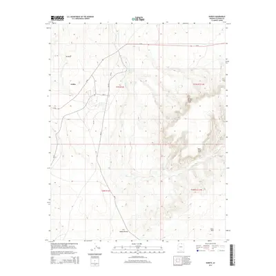
 2018 Kaibito2018 Print · USGSCovers Kaibito, including Kaibeto, Coconino County, and other nearby areas
 - 2018 Map of Horsethief Mesa, 2018 Print
 2018 Horsethief Mesa2018 Print · USGSCovers Kaibito, including Coconino County, United States, and other nearby areas
 - 2018 Map of White Hill, 2018 Print
 2018 White Hill2018 Print · USGSCovers Kaibito, including Coconino County, United States, and other nearby areas
 - 2021 Map of White Hill, 2021 Print
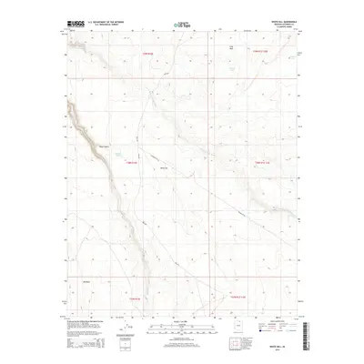
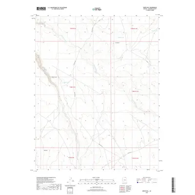
 2021 White Hill2021 Print · USGSCoconino County’s high desert plateau is documented in the early 2020s, showing a landscape shaped by seasonal drainages and remote routes. Researchers can locate vital water sources like Dejolie Tank and trace the paths of Kaibito Cr and Starting Water Wash.
 - 2021 Map of Kaibito, 2021 Print
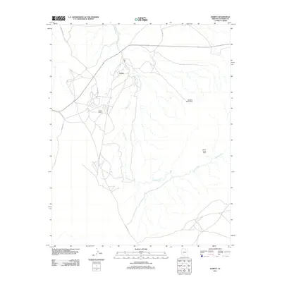
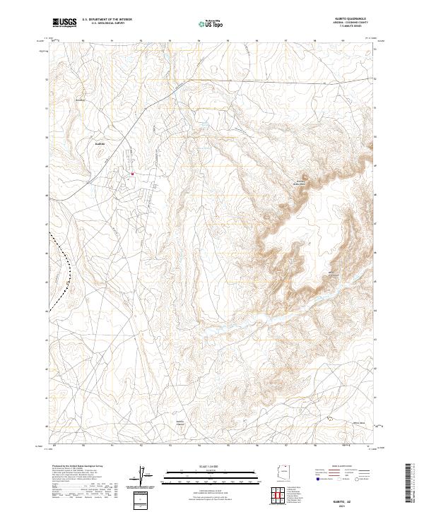 2021 Kaibito2021 Print · USGSThe Navajo Nation community of Kaibito is shown here in the early 2020s, centered on a high plateau defined by critical desert water sources. Researchers can trace the network of BIA roads leading to Kaibito Spring or locate distinctive landmarks like Whiskey Bottle Rock and White Craig Arch.
 - 2021 Map of Arrowhead Mesa, 2021 Print
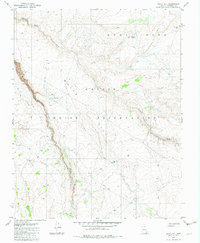
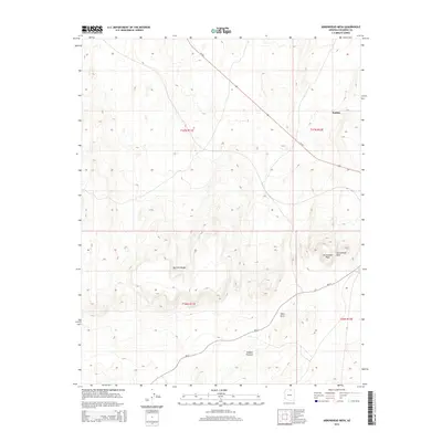
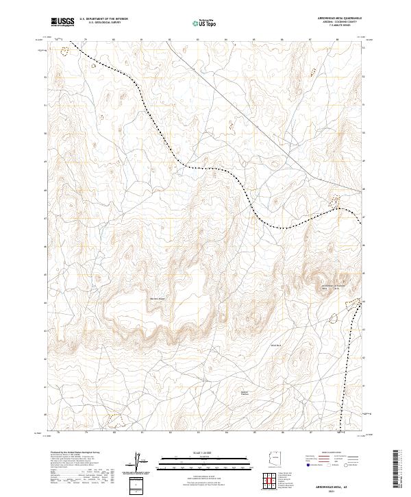 2021 Arrowhead Mesa2021 Print · USGSCoconino County remains a landscape of high-desert geological formations in this modern survey of the Arizona interior. Geologists and local explorers can trace the precise locations of landmarks like Arrowhead Arch, Wind Rock, and the sprawling Mormon Ridges.
Showing maps 1-25 of 26
Top cities near Kaibito
Top neighborhoods of Kaibito
Frequently asked questions
- What are the different types of historical maps available for Kaibito?
- What is the oldest map of Kaibito?
- Where can I purchase historical maps of Kaibito for my home or office?
- Where can I download high-res historical maps of Kaibito?
- Are there historical topographic maps available for Kaibito?
- Is there historical aerial imagery available for Kaibito?
- Where are historical maps of Kaibito sourced from?