2020s Maps of Kaibito, Arizona
Explore 4 historic maps of Kaibito from the 2020s. These maps offer a rare glimpse into what life looked like during the 2020s — showing old roads, neighborhoods, homes, and landmarks that have changed or disappeared over time.
Whether you're researching your family's past, planning a metal detecting trip, or studying how Kaibito's landscape evolved across the 2020s, these high-resolution maps are a powerful tool for exploring the history of this region.
- Focus on a specific era: All maps on this page are from the 2020s, giving you a focused view of this time period.
- See what’s changed: Compare century-old streets, trails, and buildings to today's modern landscape using overlays and satellite layers.
- Research with precision: Use these maps for genealogy, historical research, land use analysis, or educational projects.
- View, download, or print: Maps are fully viewable online in high resolution, and can be downloaded or printed for your own records.
Start exploring Kaibito's history through authentic maps from the 2020s. This is your window into the past.
Kaibito, AZ maps
(4)- 2021 Map of White Hill, 2021 Print
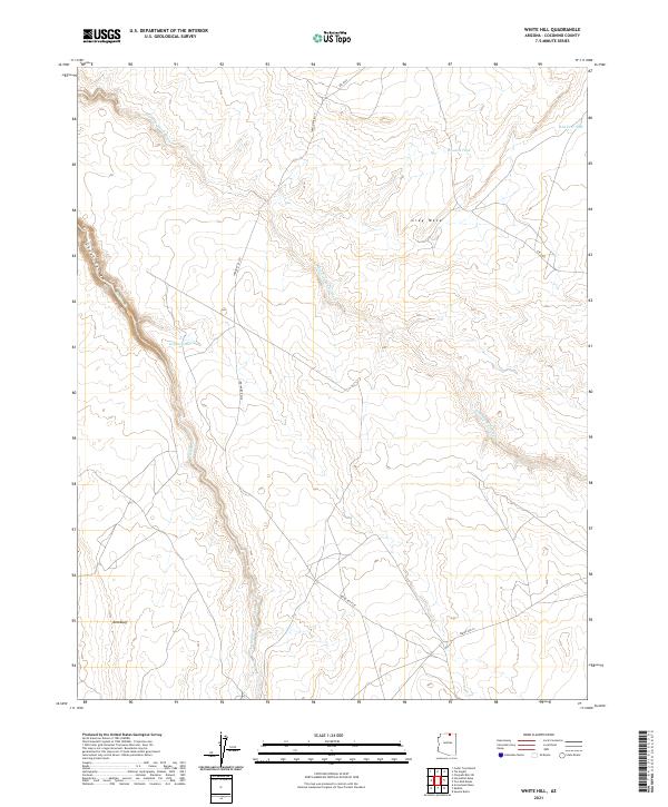 2021 White Hill2021 Print · USGSCoconino County’s high desert plateau is documented in the early 2020s, showing a landscape shaped by seasonal drainages and remote routes. Researchers can locate vital water sources like Dejolie Tank and trace the paths of Kaibito Cr and Starting Water Wash.
 - 2021 Map of Kaibito, 2021 Print
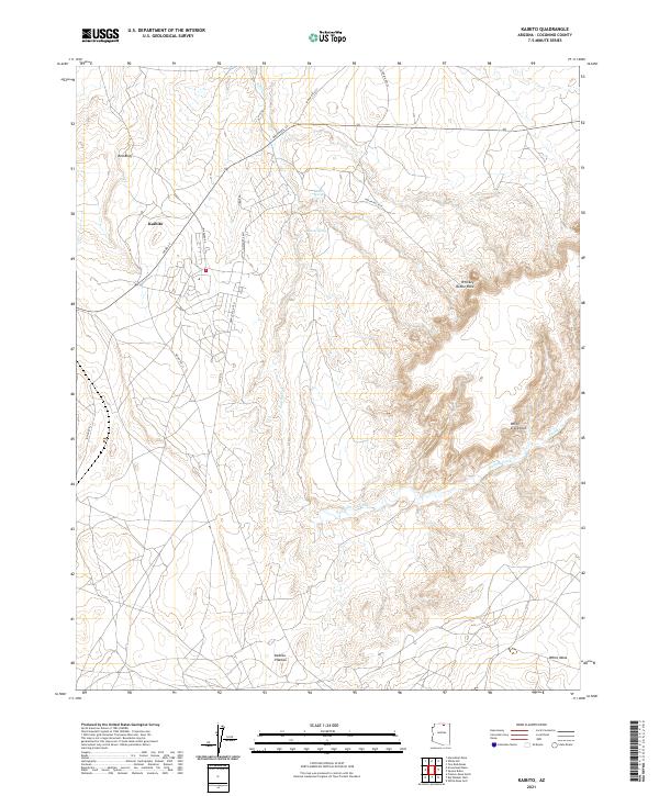 2021 Kaibito2021 Print · USGSThe Navajo Nation community of Kaibito is shown here in the early 2020s, centered on a high plateau defined by critical desert water sources. Researchers can trace the network of BIA roads leading to Kaibito Spring or locate distinctive landmarks like Whiskey Bottle Rock and White Craig Arch.
 - 2021 Map of Arrowhead Mesa, 2021 Print
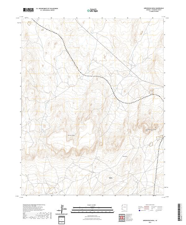 2021 Arrowhead Mesa2021 Print · USGSCoconino County remains a landscape of high-desert geological formations in this modern survey of the Arizona interior. Geologists and local explorers can trace the precise locations of landmarks like Arrowhead Arch, Wind Rock, and the sprawling Mormon Ridges.
 - 2021 Map of Horsethief Mesa, 2021 Print
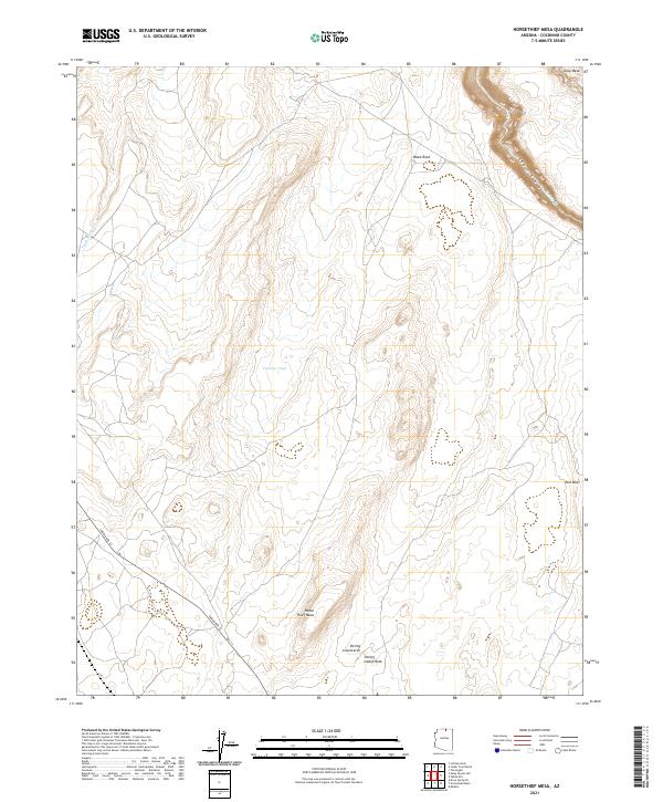 2021 Horsethief Mesa2021 Print · USGSThe Arizona high desert comes into focus in the early 2020s, showcasing a landscape of dramatic sandstone formations and essential water catchments. Trace the rugged path of Kaibito Creek or locate the distinctive Sitting Lizard Arch and Horse Thief Mesa.
End of results
Showing maps 1-4 of 4
Top cities near Kaibito
Top neighborhoods of Kaibito
Frequently asked questions
- What are the different types of historical maps available for Kaibito?
- What is the oldest map of Kaibito?
- Where can I purchase historical maps of Kaibito for my home or office?
- Where can I download high-res historical maps of Kaibito?
- Are there historical topographic maps available for Kaibito?
- Is there historical aerial imagery available for Kaibito?
- Where are historical maps of Kaibito sourced from?