2020s Maps of Pima, Arizona
Explore 2 historic maps of Pima from the 2020s. These maps offer a rare glimpse into what life looked like during the 2020s — showing old roads, neighborhoods, homes, and landmarks that have changed or disappeared over time.
Whether you're researching your family's past, planning a metal detecting trip, or studying how Pima's landscape evolved across the 2020s, these high-resolution maps are a powerful tool for exploring the history of this region.
- Focus on a specific era: All maps on this page are from the 2020s, giving you a focused view of this time period.
- See what’s changed: Compare century-old streets, trails, and buildings to today's modern landscape using overlays and satellite layers.
- Research with precision: Use these maps for genealogy, historical research, land use analysis, or educational projects.
- View, download, or print: Maps are fully viewable online in high resolution, and can be downloaded or printed for your own records.
Start exploring Pima's history through authentic maps from the 2020s. This is your window into the past.
Pima, AZ maps
(2)- 2021 Map of Pima, 2021 Print
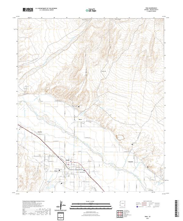 2021 Pima2021 Print · USGSThe Gila River valley in the early 2020s remains a landscape shaped by irrigation and desert hydrology. Researchers can trace rural settlement patterns and local family history through the numerous community burial sites such as Bryce Cem and Glenbar Cem.
 - 2021 Map of Thatcher, 2021 Print
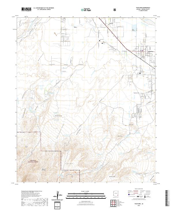 2021 Thatcher2021 Print · USGSThe Gila Valley comes into focus in this contemporary survey, capturing the agricultural heart of Graham County and the edge of the mountains. Researchers can trace the heritage of Thatcher and Central through local landmarks like Eastern Arizona College and the Old Central Cem.
End of results
Showing maps 1-2 of 2
Top cities near Pima
- Safford historical maps
- Thatcher historical maps
- Swift Trail Junction historical maps
- Cactus Flat historical maps
- Central historical maps
- Solomon historical maps
See more
Top neighborhoods of Pima
Frequently asked questions
- What are the different types of historical maps available for Pima?
- What is the oldest map of Pima?
- Where can I purchase historical maps of Pima for my home or office?
- Where can I download high-res historical maps of Pima?
- Are there historical topographic maps available for Pima?
- Is there historical aerial imagery available for Pima?
- Where are historical maps of Pima sourced from?