Old Maps of Sanchez, Arizona for Hiking & Exploration
Hike through history with 10 historic maps of Sanchez. Explore old trails, ghost towns, and forgotten backroads — perfect for outdoor adventurers and local explorers.
- Rediscover forgotten places: Map out old mining camps, roads, and footpaths that no longer exist on modern maps.
- Layer with modern tools: Combine with LiDAR or satellite views to plan hikes through historical terrain.
- Made for exploration: Popular among hikers, overlanders, and local history lovers.
Use these maps to find adventure and explore the hidden past of Sanchez.
Sanchez, AZ maps
(10)- 1954 Map of Silver City, 1967 Print
 1954 Silver City1967 Print · USGSSoutheast Arizona and southwest New Mexico meet in this mid-century survey of the high desert and mountain mining districts. Local researchers can trace the rail lines through Lordsburg, the silver operations at Ash Peak Mines, and the limits of Fort Bayard Military Reservation.4 unique versions available
 - 1958 Map of Silver City
 1958 Silver City1958 Print · USGSSouthwestern New Mexico and eastern Arizona appear here in the mid-1950s, a period of intensive mining and rail activity. Trace the routes of the Southern Pacific RR through Lordsburg or locate historic operations at the Chino Mine and Santa Rita.
 - 1960 Map of Safford, 1961 Print
 1960 Safford1961 Print · USGSThe Gila River valley is captured here during a period of steady growth in the early sixties, showing the vital irrigation network that sustained the local economy. Researchers can trace the path of the Southern Pacific railroad and locate landmarks like the Solomonsville Cemetery and Lafe Nelson School.3 unique versions available
 - 1962 Map of Silver City
 1962 Silver City1962 Print · USGSThe high desert borderlands of New Mexico and Arizona come alive in this early sixties survey. Genealogists and historians can trace the mining economy through the Chino Mine, follow the rail routes of the Southern Pacific, or locate settlements like Virden and Bayard.
 - 1985 Map of San Jose, 1986 Print
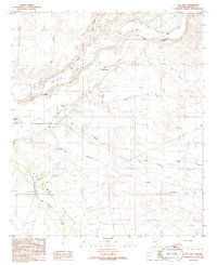 1985 San Jose1986 Print · USGSThe Gila and San Simon valleys meet here in the mid-1980s, revealing a landscape shaped by desert irrigation. Genealogists can trace the rural settlements of San Jose, Sanchez, and Solomon, alongside local features like the Tidwell Canal and Prospect.
 - 1994 Map of Safford
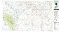 1994 Safford1994 Print · USGSSoutheastern Arizona and the New Mexico borderlands come into focus in the mid-1990s, highlighting the irrigation-fed life of the Gila Valley. Genealogists and researchers can trace local landmarks like Eastern Arizona College, the Southern Pacific RR, and settlements from Artesia to Virden.2 unique versions available
 - 2011 Map of San Jose, 2011 Print
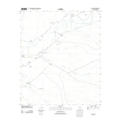 2011 San Jose2011 Print · USGSCovers Sanchez, including Gripe, Buena Vista, and other nearby areas
 - 2014 Map of San Jose, 2014 Print
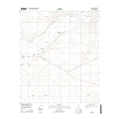 2014 San Jose2014 Print · USGSCovers Sanchez, including Gripe, Buena Vista, and other nearby areas
 - 2018 Map of San Jose, 2018 Print
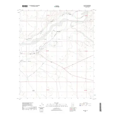 2018 San Jose2018 Print · USGSCovers Sanchez, including Gripe, Buena Vista, and other nearby areas
 - 2021 Map of San Jose, 2021 Print
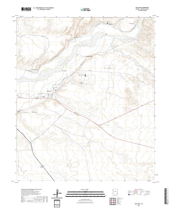 2021 San Jose2021 Print · USGSModern Graham County agriculture and valley life appear in this 2021 study of the Gila River corridor. Genealogists can locate family burial sites at San Jose Cem or Sanchez Cem and trace the old irrigation paths of the San Jose Canal.
End of results
Showing maps 1-10 of 10
Top cities near Sanchez
- Safford historical maps
- Thatcher historical maps
- Swift Trail Junction historical maps
- Clifton historical maps
- Cactus Flat historical maps
- Solomon historical maps
Frequently asked questions
- What are the different types of historical maps available for Sanchez?
- What is the oldest map of Sanchez?
- Where can I purchase historical maps of Sanchez for my home or office?
- Where can I download high-res historical maps of Sanchez?
- Are there historical topographic maps available for Sanchez?
- Is there historical aerial imagery available for Sanchez?
- Where are historical maps of Sanchez sourced from?