Old Maps of Aguila, Arizona for Academic Research
Study the evolution of Aguila with 14 high-resolution historic maps. Whether you're teaching, researching, or modeling changes in land use, these maps provide essential visual documentation of urban, environmental, and geographic change.
- Analyze long-term change: Track patterns in development, transportation, and natural features.
- Ideal for environmental or urban studies: Support academic projects with primary historical map data.
- Use in the classroom or lab: Educators and researchers rely on these maps to bring historical context to life.
These maps are a powerful tool for teaching, research, and visualizing how Aguila has changed over the decades.
Aguila, AZ maps
(14)- 1942 Map of Vicksburg
 1942 Vicksburg1942 Print · USGSWestern Arizona's desert landscape during the early war years is defined here by isolated rail stops and vital water points. Researchers can trace the Atchison Topeka and Santa Fe line through Salome and Vicksburg or locate remote sites like Reids Ranch and the Kofa Mine.
 - 1954 Map of Phoenix, 1964 Print
 1954 Phoenix1964 Print · USGSMid-century Arizona is captured here as the Phoenix metropolitan area begins its rapid expansion into the surrounding desert. Genealogists and historians can trace the development of agricultural hubs like Buckeye and Tolleson, or locate remote landmarks like the Vulture Mine and Nottbusch Cem.5 unique versions available
 - 1957 Map of Phoenix
 1957 Phoenix1957 Print · USGSGreater Phoenix and the central Arizona desert during the mid-fifties reveal a landscape of growing suburbs and active desert mines. Researchers can trace the legacy of local landmarks like Wickenburg Prison, the Vulture Mine, and the Tonopah Post Office.
 - 1958 Map of Phoenix
 1958 Phoenix1958 Print · USGSThe Phoenix Valley enters a period of postwar expansion, where desert irrigation meets massive military aviation footprints. Trace the development of Phoenix and Glendale alongside the legendary Vulture Mine and the auxiliary runways of Luke Air Force Base.
 - 1960 Map of Phoenix
 1960 Phoenix1960 Print · USGSCentral Arizona in the mid-fifties reveals a landscape of rapid suburban growth alongside enduring desert mining and ranching. Genealogists and historians can trace rail-side settlements like Vicksburg Junction and Waddell, or locate the Vulture Mine and early sites like Agua Fria School.
 - 1962 Map of Aguila, 1964 Print
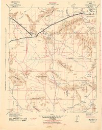
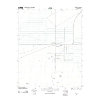
 1962 Aguila1964 Print · USGSThe community of Aguila and the surrounding Maricopa County desert are captured here in the early 1960s. Genealogists and prospectors can trace the Atchison Topeka and Santa Fe rail line and discover historic workings like the J O Dandy Mine and Black Nugget Mine.2 unique versions available
 - 1969 Map of Phoenix, 1970 Print
 1969 Phoenix1970 Print · USGSCentral Arizona is seen at a technological turning point in the late sixties, using Apollo 9 space photography to map the desert landscape. Researchers can trace the growth of Sun City, locate old workings at Vulture Mine, and follow the Gila River past Buckeye.2 unique versions available
 - 1971 Map of Phoenix
 1971 Phoenix1971 Print · USGSCentral Arizona at the start of the seventies shows a desert metropolis expanding toward the Sun Valley retirement boom. Trace the growth of Sun City and Glendale, or locate remote historic sites like the Vulture Gold Mine and Nottbusch Cemetery.
 - 1984 Map of Salome
 1984 Salome1984 Print · USGSWestern Arizona's desert valleys and mining districts are surveyed here during the mid-eighties, centered on the railroad corridor through the McMullen Valley. Researchers can trace the rail towns of Salome and Wenden or locate historical mineral sites like the Bonanza Mine and Hercules Mine.
 - 1990 Map of Aguila
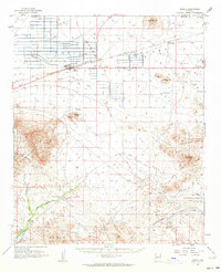
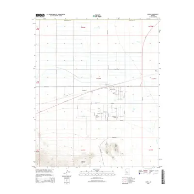
 1990 Aguila1990 Print · USGSAguila and the surrounding valley are shown during the mid-1980s as a desert landscape shaped by aviation and ranching. Researchers can locate the local Cem, trace family-named landmarks like Milton Ray Tank, or explore the heights of Eagle Eye Mountain.
 - 2011 Map of Aguila, 2011 Print
 2011 Aguila2011 Print · USGSCovers Aguila, including Maricopa County, United States, and other nearby areas
 - 2014 Map of Aguila, 2014 Print
 2014 Aguila2014 Print · USGSCovers Aguila, including Maricopa County, United States, and other nearby areas
 - 2018 Map of Aguila, 2018 Print
 2018 Aguila2018 Print · USGSCovers Aguila, including Maricopa County, United States, and other nearby areas
 - 2021 Map of Aguila, 2021 Print
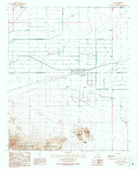
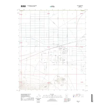
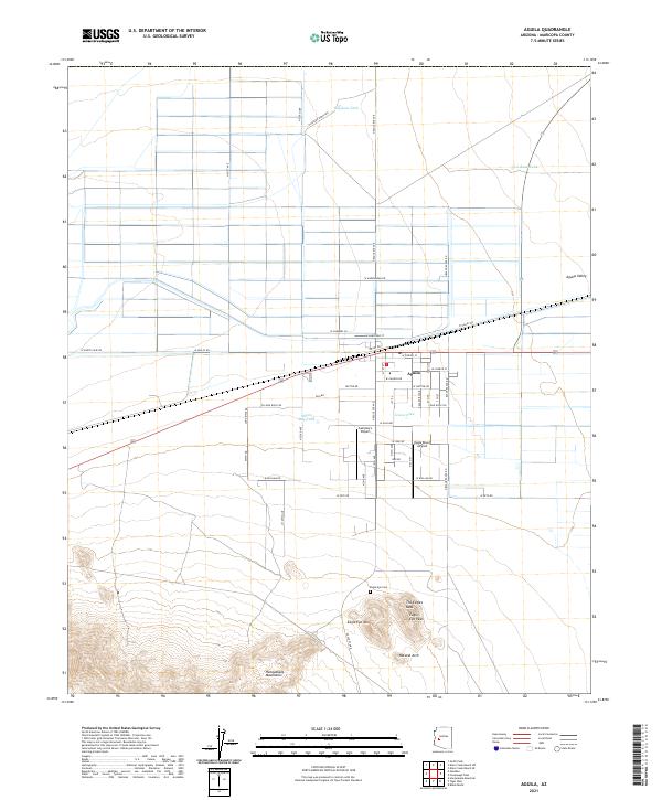 2021 Aguila2021 Print · USGSThe desert settlement of Aguila is shown at a time of continued agricultural and aviation growth in the Arizona outback. Researchers can locate family landmarks like the Eagle Eye Cem or trace terrain features including the Natural Arch and The Eagles Beak.
End of results
Showing maps 1-14 of 14
Frequently asked questions
- What are the different types of historical maps available for Aguila?
- What is the oldest map of Aguila?
- Where can I purchase historical maps of Aguila for my home or office?
- Where can I download high-res historical maps of Aguila?
- Are there historical topographic maps available for Aguila?
- Is there historical aerial imagery available for Aguila?
- Where are historical maps of Aguila sourced from?