Old Maps of Verrado, Buckeye
Explore 34 old maps of Verrado, spanning from 1946 to today. These high-resolution historic maps reveal how streets, neighborhoods, landmarks, and natural features evolved over time — perfect for genealogy, metal detecting, research, and local history exploration.
What you can do with these maps:
- See how Verrado changed over time: Compare historical maps to modern-day views to trace roads, homesites, rail lines & more.
- View detailed metadata: Each map includes creators, publishers, year, scale, and archive source.
- Overlay maps with satellite & LiDAR: Visualize the past alongside modern tools to explore terrain & human change.
- Trusted historical sources: Maps sourced from the USGS, Library of Congress, and other archives.
- Access maps your way: View online, download high-res files, or order prints for personal or research use.
Start exploring old maps of Verrado to uncover forgotten places, hidden landmarks, and the deep history beneath your feet.
Verrado, Buckeye maps
(34)- 1946 Map of Avondale, 1963 Print
 1946 Avondale1963 Print · USGSIn the postwar Salt River Valley, desert agriculture and military aviation began to reshape the landscape around Coldwater. Researchers can trace the early footprints of Litchfield Park, the U S Naval Air Facility, and rural sites like Liberty Siding.2 unique versions available
 - 1948 Map of Cashion
 1948 Cashion1948 Print · USGSMaricopa County's western valley is captured here in the late 1940s as agricultural irrigation and military aviation began to reshape the desert. Researchers can locate early schools and aviation landmarks like Pendergast Sch, the U S Naval Air Facility, and the state's geographic Initial Point.2 unique versions available
 - 1954 Map of Phoenix, 1964 Print
 1954 Phoenix1964 Print · USGSMid-century Arizona is captured here as the Phoenix metropolitan area begins its rapid expansion into the surrounding desert. Genealogists and historians can trace the development of agricultural hubs like Buckeye and Tolleson, or locate remote landmarks like the Vulture Mine and Nottbusch Cem.5 unique versions available
 - 1957 Map of Phoenix
 1957 Phoenix1957 Print · USGSGreater Phoenix and the central Arizona desert during the mid-fifties reveal a landscape of growing suburbs and active desert mines. Researchers can trace the legacy of local landmarks like Wickenburg Prison, the Vulture Mine, and the Tonopah Post Office.
 - 1957 Map of White Tank Mts. SE, 1958 Print
 1957 White Tank Mts. SE1958 Print · USGSThe White Tank Mountains in the late 1950s served as a critical site for military testing and mid-century communications. Trace the old Jeep Trail to a remote Prospect or locate the high Microwave Radio Towers VABM 4018.5 unique versions available
 - 1957 Map of Valencia, 1958 Print
 1957 Valencia1958 Print · USGSIn the mid-1950s, the Arizona desert near Valencia was a mix of ancient history, new military testing grounds, and irrigated farmland. Trace the irrigation lines of the Roosevelt Canal or locate the Petroglyphs and the White Tanks Proving Grounds.6 unique versions available
 - 1957 Map of Perryville, 1958 Print
 1957 Perryville1958 Print · USGSMaricopa County agriculture and irrigation were in full swing during the late fifties, long before modern suburban expansion. Genealogists and local historians can trace the early layout of Perryville and McMicken alongside complex networks of wells and reservoirs.5 unique versions available
 - 1957 Map of Waddell, 1958 Print
 1957 Waddell1958 Print · USGSMaricopa County's western desert fringe comes alive in the late fifties, showing a landscape defined by military flight paths and mountain flood control. Trace the rail-side growth of Waddell and Fennemore or locate the early footprint of Luke Air Force Base.4 unique versions available
 - 1957 Map of White Tank Mts., 1959 Print
 1957 White Tank Mts.1959 Print · USGSThe Sonoran Desert of Maricopa County is captured here in the late fifties, during a period of expanding military aviation and early telecommunications. Genealogists and desert historians can trace remote outposts like Dos Palmas Well and Luke Air Force Auxiliary Field No 1.3 unique versions available
 - 1958 Map of Phoenix
 1958 Phoenix1958 Print · USGSThe Phoenix Valley enters a period of postwar expansion, where desert irrigation meets massive military aviation footprints. Trace the development of Phoenix and Glendale alongside the legendary Vulture Mine and the auxiliary runways of Luke Air Force Base.
 - 1958 Map of Buckeye, 1963 Print
 1958 Buckeye1963 Print · USGSIn the late fifties, the Buckeye Valley thrived as an irrigated agricultural heartland anchored by the Southern Pacific rail line. Researchers can trace the layout of small communities like Allenville and Palo Verde alongside the Roosevelt Canal and Blackhawk Mines.2 unique versions available
 - 1960 Map of Phoenix
 1960 Phoenix1960 Print · USGSCentral Arizona in the mid-fifties reveals a landscape of rapid suburban growth alongside enduring desert mining and ranching. Genealogists and historians can trace rail-side settlements like Vicksburg Junction and Waddell, or locate the Vulture Mine and early sites like Agua Fria School.
 - 1969 Map of Phoenix, 1970 Print
 1969 Phoenix1970 Print · USGSCentral Arizona is seen at a technological turning point in the late sixties, using Apollo 9 space photography to map the desert landscape. Researchers can trace the growth of Sun City, locate old workings at Vulture Mine, and follow the Gila River past Buckeye.2 unique versions available
 - 1971 Map of Phoenix
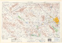 1971 Phoenix1971 Print · USGSCentral Arizona at the start of the seventies shows a desert metropolis expanding toward the Sun Valley retirement boom. Trace the growth of Sun City and Glendale, or locate remote historic sites like the Vulture Gold Mine and Nottbusch Cemetery.
 - 1971 Map of Perryville, 1972 Print
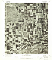 1971 Perryville1972 Print · USGSAgricultural grids and desert irrigation define the Maricopa County landscape in the early seventies. Researchers can trace the layout of Perryville and Liberty or follow the natural course of the Gila River.
 - 1971 Map of Waddell, 1972 Print
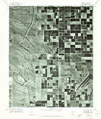 1971 Waddell1972 Print · USGSMaricopa County agriculture and military operations are captured in the early seventies, showing a landscape defined by desert irrigation. Trace the growth of Waddell and Citrus Park alongside the runways of Luke Air Force Base.
 - 1981 Map of Phoenix South
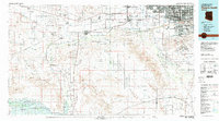 1981 Phoenix South1981 Print · USGSThe desert south of Phoenix in the early eighties shows a unique mix of tribal lands, military outposts, and agricultural growth. Genealogists and historians can trace settlements like Ak Chin and Valencia or locate the Buckeye Copper Mine and Luke Aux Field No 6.2 unique versions available
 - 1988 Map of Phoenix North, 1989 Print
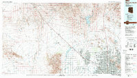 1988 Phoenix North1989 Print · USGSNorth of Phoenix in the late eighties, the desert landscape transitions from the mining heritage of Wickenburg to the burgeoning suburbs of the valley. Trace the paths of the Atchison Topeka and Santa Fe Railway or locate old operations like the Vulture Mine.2 unique versions available
 - 2011 Map of Valencia, 2011 Print
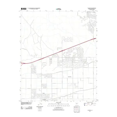 2011 Valencia2011 Print · USGSBuckeye and Valencia are captured during a period of significant growth into the Arizona desert landscape. Researchers can trace local landmarks like the Louis B Hazelton Memorial Cemetery and the Roosevelt Irrigation District.
 - 2011 Map of White Tank Mountains, 2011 Print
 2011 White Tank Mountains2011 Print · USGSThe desert peaks and canyons of Maricopa County are documented here in the early twenty-first century. Researchers can trace the topography of the White Tank Mountains, locating Barry Goldwater Peak and the canyon routes of Waterfall Canyon Rd.
 - 2011 Map of Waddell, 2011 Print
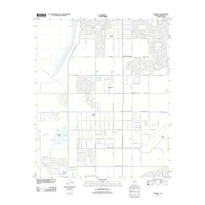 2011 Waddell2011 Print · USGSMaricopa County's West Valley comes into focus at a time of significant suburban expansion and flood management. Genealogists and local historians can trace the development of Citrus Park, Waddell, and aviation landmarks like Coyner Airstrip.
 - 2011 Map of Perryville, 2011 Print
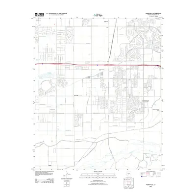 2011 Perryville2011 Print · USGSThe West Valley was undergoing a significant shift toward suburbanization in the early 2010s while maintaining its agricultural and industrial roots. You can trace the growth of Goodyear and locate historical landmarks like the Phoenix Trotting Park and Phoenix Goodyear Airport.
 - 2014 Map of White Tank Mountains, 2014 Print
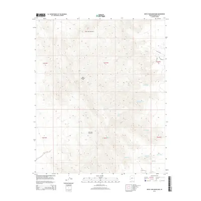 2014 White Tank Mountains2014 Print · USGSThe high desert of Maricopa County is documented here during the early 2000s, centered on the prominent ridgelines of the desert. Researchers can trace the intricate drainage of Waterfall Wash, locate Barry Goldwater Peak, and follow access roads like Ford Canyon Rd.
 - 2014 Map of Valencia, 2014 Print
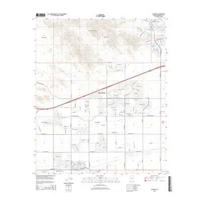 2014 Valencia2014 Print · USGSBuckeye and the southern foothills of the White Tank Mountains are shown here during a period of significant desert development. Researchers can trace irrigation history along the Buckeye Canal or locate local landmarks like the Louis B Hazelton Memorial Cem.
 - 2014 Map of Perryville, 2014 Print
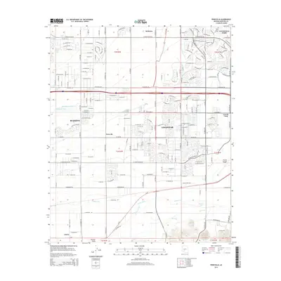 2014 Perryville2014 Print · USGSMaricopa County's West Valley was undergoing significant suburban growth while maintaining its agricultural roots in the early twenty-first century. Researchers can trace the water infrastructure of the Buckeye Canal and locate settlements like Perryville and McMicken alongside the Phoenix Goodyear Airport.
Showing maps 1-25 of 34
Top cities near Verrado
- Phoenix historical maps
- Glendale historical maps
- Peoria historical maps
- Surprise historical maps
- Buckeye historical maps
- Avondale historical maps
See more
Top neighborhoods of Verrado
- Verrado Victory District historical maps
- Verrado Highlands District historical maps
- Sienna Hills historical maps
Frequently asked questions
- What are the different types of historical maps available for Verrado?
- What is the oldest map of Verrado?
- Where can I purchase historical maps of Verrado for my home or office?
- Where can I download high-res historical maps of Verrado?
- Are there historical topographic maps available for Verrado?
- Is there historical aerial imagery available for Verrado?
- Where are historical maps of Verrado sourced from?