2020s Maps of Verrado, Buckeye
Explore 4 historic maps of Verrado from the 2020s. These maps offer a rare glimpse into what life looked like during the 2020s — showing old roads, neighborhoods, homes, and landmarks that have changed or disappeared over time.
Whether you're researching your family's past, planning a metal detecting trip, or studying how Verrado's landscape evolved across the 2020s, these high-resolution maps are a powerful tool for exploring the history of this region.
- Focus on a specific era: All maps on this page are from the 2020s, giving you a focused view of this time period.
- See what’s changed: Compare century-old streets, trails, and buildings to today's modern landscape using overlays and satellite layers.
- Research with precision: Use these maps for genealogy, historical research, land use analysis, or educational projects.
- View, download, or print: Maps are fully viewable online in high resolution, and can be downloaded or printed for your own records.
Start exploring Verrado's history through authentic maps from the 2020s. This is your window into the past.
Verrado, Buckeye maps
(4)- 2021 Map of White Tank Mountains, 2021 Print
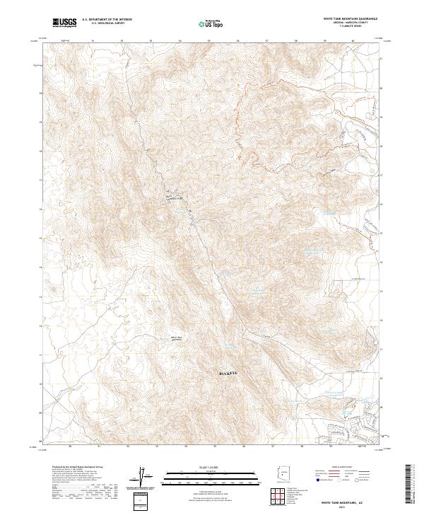 2021 White Tank Mountains2021 Print · USGSThe White Tank Mountains outside Buckeye are captured here at a moment of modern desert expansion and recreational development. Hikers and local historians can trace the paths of Ford Canyon Trl and Mesquite Trl as they climb toward Barry Goldwater Peak.
 - 2021 Map of Perryville, 2021 Print
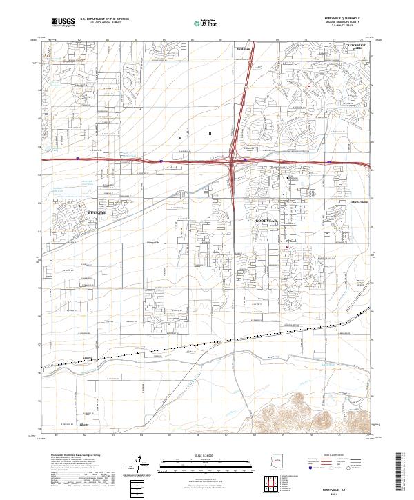 2021 Perryville2021 Print · USGSMaricopa County's western expansion is on full display in this modern survey of the desert landscape south of the White Tank Mountains. Genealogists and local researchers can trace the development of Goodyear and Buckeye alongside rural landmarks like Liberty and the Phoenix Goodyear Airport.
 - 2021 Map of Valencia, 2021 Print
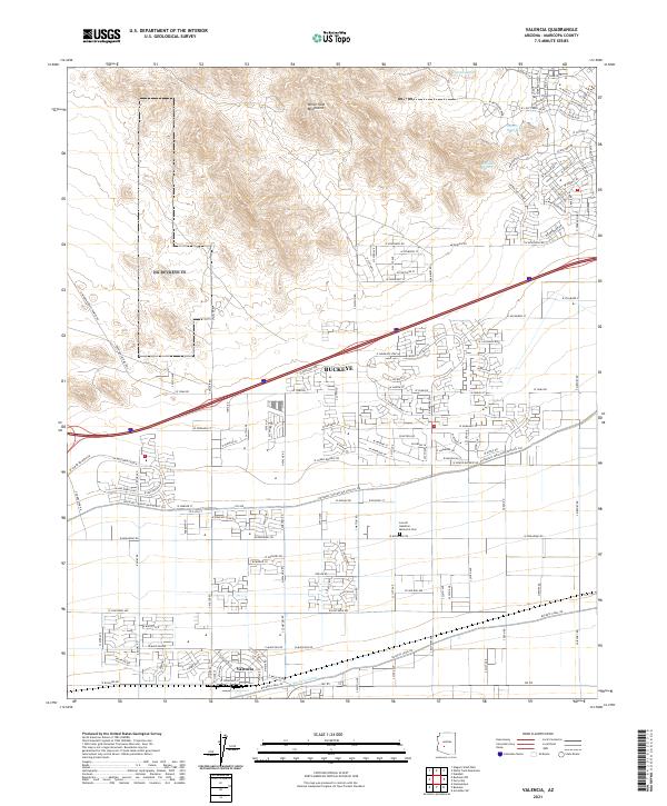 2021 Valencia2021 Print · USGSBuckeye and Valencia are shown in their modern desert setting, where residential growth meets long-standing agricultural irrigation. Researchers can locate the Louis B Hazelton Memorial Cem and trace water routes like the Buckeye Canal and Bulldozer Wash.
 - 2021 Map of Waddell, 2021 Print
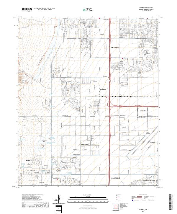 2021 Waddell2021 Print · USGSThe West Valley transitions from the rugged White Tank Mountains into the burgeoning residential grids of Surprise and Glendale in the early 2020s. Researchers can trace the desert drainage system through Waterfall Wash or locate the sprawling grounds of Luke Air Force Base.
End of results
Showing maps 1-4 of 4
Top cities near Verrado
- Phoenix historical maps
- Glendale historical maps
- Peoria historical maps
- Surprise historical maps
- Buckeye historical maps
- Avondale historical maps
See more
Top neighborhoods of Verrado
- Verrado Victory District historical maps
- Verrado Highlands District historical maps
- Sienna Hills historical maps
Frequently asked questions
- What are the different types of historical maps available for Verrado?
- What is the oldest map of Verrado?
- Where can I purchase historical maps of Verrado for my home or office?
- Where can I download high-res historical maps of Verrado?
- Are there historical topographic maps available for Verrado?
- Is there historical aerial imagery available for Verrado?
- Where are historical maps of Verrado sourced from?