Old Maps of Fennemore, Arizona for Hiking & Exploration
Hike through history with 13 historic maps of Fennemore. Explore old trails, ghost towns, and forgotten backroads — perfect for outdoor adventurers and local explorers.
- Rediscover forgotten places: Map out old mining camps, roads, and footpaths that no longer exist on modern maps.
- Layer with modern tools: Combine with LiDAR or satellite views to plan hikes through historical terrain.
- Made for exploration: Popular among hikers, overlanders, and local history lovers.
Use these maps to find adventure and explore the hidden past of Fennemore.
Fennemore, AZ maps
(13)- 1954 Map of Phoenix, 1964 Print
 1954 Phoenix1964 Print · USGSMid-century Arizona is captured here as the Phoenix metropolitan area begins its rapid expansion into the surrounding desert. Genealogists and historians can trace the development of agricultural hubs like Buckeye and Tolleson, or locate remote landmarks like the Vulture Mine and Nottbusch Cem.5 unique versions available
 - 1957 Map of Phoenix
 1957 Phoenix1957 Print · USGSGreater Phoenix and the central Arizona desert during the mid-fifties reveal a landscape of growing suburbs and active desert mines. Researchers can trace the legacy of local landmarks like Wickenburg Prison, the Vulture Mine, and the Tonopah Post Office.
 - 1957 Map of Waddell, 1958 Print
 1957 Waddell1958 Print · USGSMaricopa County's western desert fringe comes alive in the late fifties, showing a landscape defined by military flight paths and mountain flood control. Trace the rail-side growth of Waddell and Fennemore or locate the early footprint of Luke Air Force Base.4 unique versions available
 - 1958 Map of Phoenix
 1958 Phoenix1958 Print · USGSThe Phoenix Valley enters a period of postwar expansion, where desert irrigation meets massive military aviation footprints. Trace the development of Phoenix and Glendale alongside the legendary Vulture Mine and the auxiliary runways of Luke Air Force Base.
 - 1960 Map of Phoenix
 1960 Phoenix1960 Print · USGSCentral Arizona in the mid-fifties reveals a landscape of rapid suburban growth alongside enduring desert mining and ranching. Genealogists and historians can trace rail-side settlements like Vicksburg Junction and Waddell, or locate the Vulture Mine and early sites like Agua Fria School.
 - 1969 Map of Phoenix, 1970 Print
 1969 Phoenix1970 Print · USGSCentral Arizona is seen at a technological turning point in the late sixties, using Apollo 9 space photography to map the desert landscape. Researchers can trace the growth of Sun City, locate old workings at Vulture Mine, and follow the Gila River past Buckeye.2 unique versions available
 - 1971 Map of Phoenix
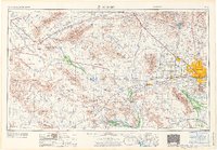 1971 Phoenix1971 Print · USGSCentral Arizona at the start of the seventies shows a desert metropolis expanding toward the Sun Valley retirement boom. Trace the growth of Sun City and Glendale, or locate remote historic sites like the Vulture Gold Mine and Nottbusch Cemetery.
 - 1971 Map of Waddell, 1972 Print
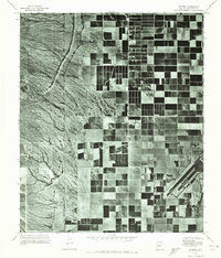 1971 Waddell1972 Print · USGSMaricopa County agriculture and military operations are captured in the early seventies, showing a landscape defined by desert irrigation. Trace the growth of Waddell and Citrus Park alongside the runways of Luke Air Force Base.
 - 1988 Map of Phoenix North, 1989 Print
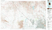 1988 Phoenix North1989 Print · USGSNorth of Phoenix in the late eighties, the desert landscape transitions from the mining heritage of Wickenburg to the burgeoning suburbs of the valley. Trace the paths of the Atchison Topeka and Santa Fe Railway or locate old operations like the Vulture Mine.2 unique versions available
 - 2011 Map of Waddell, 2011 Print
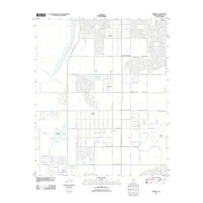 2011 Waddell2011 Print · USGSMaricopa County's West Valley comes into focus at a time of significant suburban expansion and flood management. Genealogists and local historians can trace the development of Citrus Park, Waddell, and aviation landmarks like Coyner Airstrip.
 - 2014 Map of Waddell, 2014 Print
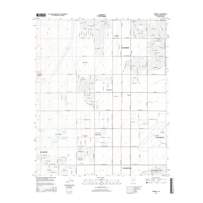 2014 Waddell2014 Print · USGSMaricopa County's western valley is captured here during a decade of intense growth, showing the grid expanding into the desert near Waddell. Local researchers can trace the path of the Beardsley Canal Wash and locate landmarks like Luke Air Force Base and the Coyner Airstrip.
 - 2018 Map of Waddell, 2018 Print
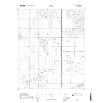 2018 Waddell2018 Print · USGSMaricopa County's West Valley shows its rapid transition from desert fringe to suburban hubs in the late 2010s. Trace the expansion of Surprise and Waddell near the base of the White Tank Mountains and the grounds of Luke Air Force Base.
 - 2021 Map of Waddell, 2021 Print
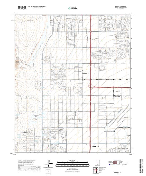 2021 Waddell2021 Print · USGSThe West Valley transitions from the rugged White Tank Mountains into the burgeoning residential grids of Surprise and Glendale in the early 2020s. Researchers can trace the desert drainage system through Waterfall Wash or locate the sprawling grounds of Luke Air Force Base.
End of results
Showing maps 1-13 of 13
Top cities near Fennemore
- Phoenix historical maps
- Glendale historical maps
- Peoria historical maps
- Surprise historical maps
- Buckeye historical maps
- Avondale historical maps
See more
Frequently asked questions
- What are the different types of historical maps available for Fennemore?
- What is the oldest map of Fennemore?
- Where can I purchase historical maps of Fennemore for my home or office?
- Where can I download high-res historical maps of Fennemore?
- Are there historical topographic maps available for Fennemore?
- Is there historical aerial imagery available for Fennemore?
- Where are historical maps of Fennemore sourced from?