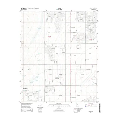
2014 Map of Waddell
USGS Topo · Published 2014About this map
Waddell and the emerging residential grids of the West Valley appear during a period of rapid suburbanization in this 2014 survey. The landscape is defined by the intersection of traditional desert hydrology and modern infrastructure, where the White Tank Mountains to the west send numerous seasonal drainages across the plain. Water management is a primary feature, evidenced by the Trilby Wash Basin, the Beardsley Canal Wash, and the large Detention Basin near the center of the sheet.
Find a feature on this map
82 named features on this map. Tap any name to fly to it.
Don’t see what you’re looking for? This feature index may not catch every label — zoom into the map to look around manually.
Map Details
Editions of this 2014 Waddell Map
This is the sole edition of this map. No revisions or reprints were ever made.
Other maps of this area
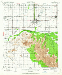
1946 · Avondale
USGS Topo · 1:62,500
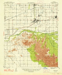
1948 · Cashion
USGS Topo · 1:62,500
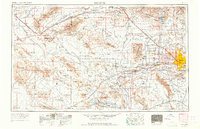
1954 · Phoenix
USGS Topo · 1:250,000
1957 · Phoenix
USGS Topo · 1:250,000
1957 · White Tank Mts. SE
USGS Topo · 1:24,000
1957 · Valencia
USGS Topo · 1:24,000
1957 · Perryville
USGS Topo · 1:24,000
1957 · White Tank Mts. NE
USGS Topo · 1:24,000
1957 · Calderwood Butte
USGS Topo · 1:24,000
1957 · McMicken Dam
USGS Topo · 1:24,000