
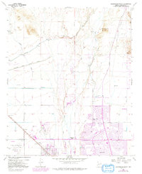
1957 Map of Calderwood Butte
USGS Topo · Published 1958About this map
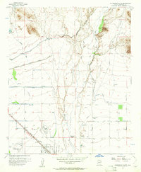
The Agua Fria River cuts through this arid landscape, flanked by the Gila and Salt River Meridian and emerging desert settlements. To the southwest, the town of Surprise and the uniquely named Lizard Acres lie along the Atchison Topeka and Santa Fe railroad, indicating the region's mid-century expansion into the Salt River Valley. This 1957 survey captures the intersection of ancient history and modern infrastructure, marking numerous Indian ruins and petroglyphs near Calderwood Butte alongside the industrial presence of the Sunrise Relief Mine and the Beardsley Canal. The presence of Luke Auxiliary Field No 3 reflects the area's importance for aviation, while the Deer Valley School and local reservoirs show the growth of a permanent community dependent on careful water management via the Marinette Heading Canal.
Find a feature on this map
28 named features on this map. Tap any name to fly to it.
Don’t see what you’re looking for? This feature index may not catch every label — zoom into the map to look around manually.
Map Details
Editions of this 1957 Calderwood Butte Map
6 editions found
Other maps of this area

1954 · Phoenix
USGS Topo · 1:250,000

1957 · Phoenix
USGS Topo · 1:250,000

1957 · McMicken Dam
USGS Topo · 1:24,000

1957 · El Mirage
USGS Topo · 1:24,000

1957 · Waddell
USGS Topo · 1:24,000

1957 · Hedgpeth Hills
USGS Topo · 1:24,000

1957 · Glendale
USGS Topo · 1:24,000

1958 · Phoenix
USGS Topo · 1:250,000

1960 · Phoenix
USGS Topo · 1:250,000
1964 · Baldy Mtn
USGS Topo · 1:24,000