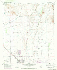
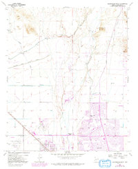
1957 Map of Calderwood Butte
USGS Topo · Published 1972About this map
The Agua Fria River bisects this Maricopa County landscape, illustrating a period of rapid suburban and agricultural transition. Evidence of ancient habitation appears at Indian Ruins and Petroglyphs near Calderwood Butte, while modern development is represented by the expansion of Sun City and the early layout of Surprise. The map documents critical infrastructure for the arid environment, including the Mc Micken Dam, the Beardsley Canal, and the Marinette Heading Canal. Aviation and military history are marked by Luke Auxiliary Field No 3 and several isolated landing strips. The Atchison Topeka and Santa Fe railroad serves the small siding of Ennis and the uniquely named Lizard Acres, capturing the rail-dependent shipping nodes before the total dominance of the highway system.
Find a feature on this map
37 named features on this map. Tap any name to fly to it.
Don’t see what you’re looking for? This feature index may not catch every label — zoom into the map to look around manually.
Map Details
Editions of this 1957 Calderwood Butte Map
6 editions found
Other maps of this area

1954 · Phoenix
USGS Topo · 1:250,000

1957 · Phoenix
USGS Topo · 1:250,000

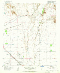
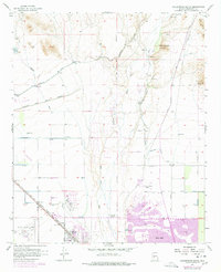
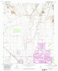
1957 · Calderwood Butte
USGS Topo · 1:24,000

1957 · McMicken Dam
USGS Topo · 1:24,000

1957 · El Mirage
USGS Topo · 1:24,000

1957 · Waddell
USGS Topo · 1:24,000

1957 · Hedgpeth Hills
USGS Topo · 1:24,000

1957 · Glendale
USGS Topo · 1:24,000

1958 · Phoenix
USGS Topo · 1:250,000

1960 · Phoenix
USGS Topo · 1:250,000