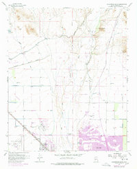
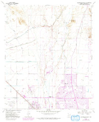
1957 Map of Calderwood Butte
USGS Topo · Published 1977About this map
Agua Fria River and the Gila and Salt River meridian define this part of Maricopa County during a period of rapid suburban and agricultural transition. The map captures the emergence of Sun City and Surprise as organized developments, while older rural markers like Lizard Acres and Calderwood Station (Site) remain visible. The landscape is heavily managed by water infrastructure, including the Beardsley Canal and Mc Micken Dam, which support the expansion of farmland into the desert.
Find a feature on this map
32 named features on this map. Tap any name to fly to it.
Don’t see what you’re looking for? This feature index may not catch every label — zoom into the map to look around manually.
Map Details
Editions of this 1957 Calderwood Butte Map
6 editions found
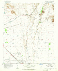
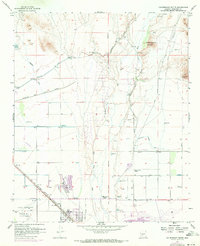
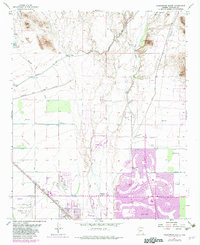
Other maps of this area

1954 · Phoenix
USGS Topo · 1:250,000

1957 · Phoenix
USGS Topo · 1:250,000

1957 · Calderwood Butte
USGS Topo · 1:24,000

1957 · McMicken Dam
USGS Topo · 1:24,000

1957 · El Mirage
USGS Topo · 1:24,000

1957 · Waddell
USGS Topo · 1:24,000

1957 · Hedgpeth Hills
USGS Topo · 1:24,000

1957 · Glendale
USGS Topo · 1:24,000

1958 · Phoenix
USGS Topo · 1:250,000

1960 · Phoenix
USGS Topo · 1:250,000