
1957 Map of Hedgpeth Hills
USGS Topo · Published 1958About this map
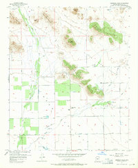
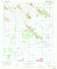
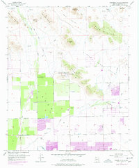
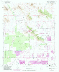
Thunderbird Park and the rugged desert topography of the Hedgpeth Hills define this mid-century survey of the northern Salt River Valley. While urban expansion from nearby Glendale is visible through the grid of Bell Road and Greenway Road, much of the landscape remains dominated by drainage systems like New River and Skunk Creek. These ephemeral waterways, along with the Arizona Canal in the south, illustrate the vital role of water management in Maricopa County’s development. Isolated landmarks such as the Sierra Vista School and numerous wells scattered across Deer Valley mark the early footprint of settlement in an area largely characterized by prominent desert peaks, including Pyramid Peak and Ludden Mtn. The map preserves the transition from open ranching and desert land toward the master-planned suburban corridors of today.
Find a feature on this map
20 named features on this map. Tap any name to fly to it.
Don’t see what you’re looking for? This feature index may not catch every label — zoom into the map to look around manually.
Map Details
Editions of this 1957 Hedgpeth Hills Map
5 editions found
Other maps of this area

1954 · Phoenix
USGS Topo · 1:250,000

1957 · Phoenix
USGS Topo · 1:250,000

1957 · Calderwood Butte
USGS Topo · 1:24,000

1957 · El Mirage
USGS Topo · 1:24,000

1957 · Glendale
USGS Topo · 1:24,000

1958 · Phoenix
USGS Topo · 1:250,000

1960 · Phoenix
USGS Topo · 1:250,000
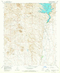
1964 · Baldy Mtn
USGS Topo · 1:24,000
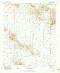
1964 · New River SE
USGS Topo · 1:24,000
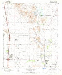
1964 · Union Hills
USGS Topo · 1:24,000