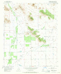
1957 Map of Hedgpeth Hills
USGS Topo · Published 1965About this map
Thunderbird Park and the rugged topography of the Hedgpeth Hills dominate this mid-century landscape in Maricopa County. This was a time of emerging agricultural and recreational land use, where the desert floor is crisscrossed by an extensive network of irrigation infrastructure including the Arizona Canal, several Levee systems, and the seasonal flows of the New River and Skunk Creek.
Find a feature on this map
28 named features on this map. Tap any name to fly to it.
Don’t see what you’re looking for? This feature index may not catch every label — zoom into the map to look around manually.
Map Details
Editions of this 1957 Hedgpeth Hills Map
5 editions found
Other maps of this area

1954 · Phoenix
USGS Topo · 1:250,000

1957 · Phoenix
USGS Topo · 1:250,000

1957 · Calderwood Butte
USGS Topo · 1:24,000

1957 · El Mirage
USGS Topo · 1:24,000

1957 · Hedgpeth Hills
USGS Topo · 1:24,000

1957 · Glendale
USGS Topo · 1:24,000

1958 · Phoenix
USGS Topo · 1:250,000

1960 · Phoenix
USGS Topo · 1:250,000
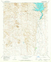
1964 · Baldy Mtn
USGS Topo · 1:24,000
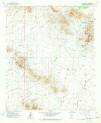
1964 · New River SE
USGS Topo · 1:24,000