
1957 Map of White Tank Mts. SE
USGS Topo · Published 1958About this map
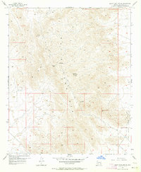
The White Tank Mts rise sharply from the desert floor in this late 1950s survey of western Maricopa County. This portion of the range is characterized by steep canyons and isolated peaks, many of which served as critical communication hubs as evidenced by the Microwave Radio Towers VABM 4018 and multiple Beacon sites mapped across the high ridges. Along the eastern foothills, the White Tank Proving Grounds marks a distinct transition from the wild mountain terrain to military and government land use.
Find a feature on this map
12 named features on this map. Tap any name to fly to it.
Don’t see what you’re looking for? This feature index may not catch every label — zoom into the map to look around manually.
Map Details
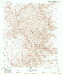
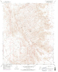
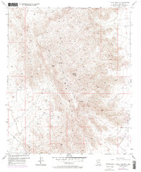
Editions of this 1957 White Tank Mts. SE Map
5 editions found
Other maps of this area

1946 · Avondale
USGS Topo · 1:62,500

1948 · Cashion
USGS Topo · 1:62,500

1954 · Phoenix
USGS Topo · 1:250,000

1957 · Phoenix
USGS Topo · 1:250,000

1957 · Valencia
USGS Topo · 1:24,000

1957 · Perryville
USGS Topo · 1:24,000

1957 · White Tank Mts. NE
USGS Topo · 1:24,000

1957 · McMicken Dam
USGS Topo · 1:24,000

1957 · Waddell
USGS Topo · 1:24,000

1957 · White Tank Mts.
USGS Topo · 1:62,500