
1957 Map of Valencia
USGS Topo · Published 1958About this map
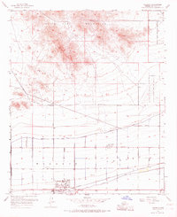
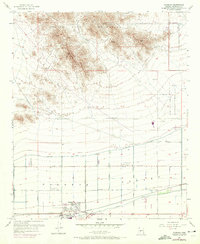
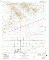
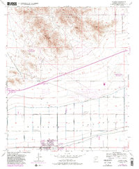
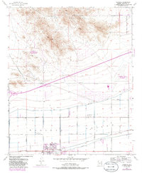
The White Tank Mountains dominate the northern landscape of this 1957 survey, where ancient and modern human activity meet. Along the mountain ridges, Petroglyphs indicate early indigenous presence, while the White Tanks Proving Grounds and Luke Air Force Auxiliary Field No 6 reflect the Cold War military expansion into the Arizona desert. The southern portion of the quadrangle reveals the agricultural transformation of the Buckeye Valley, facilitated by an extensive irrigation network including the Roosevelt Canal and Lower Buckeye Canal. The small settlement of Valencia is visible, centered near the intersection of Southern Avenue and a local canal, with the High School Stadium and Louis B Hazelton Memorial Cemetery serving as primary local landmarks for genealogists and local historians.
Find a feature on this map
31 named features on this map. Tap any name to fly to it.
Don’t see what you’re looking for? This feature index may not catch every label — zoom into the map to look around manually.
Map Details
Editions of this 1957 Valencia Map
6 editions found
Other maps of this area

1946 · Avondale
USGS Topo · 1:62,500

1948 · Cashion
USGS Topo · 1:62,500

1954 · Phoenix
USGS Topo · 1:250,000

1957 · Phoenix
USGS Topo · 1:250,000

1957 · White Tank Mts. SE
USGS Topo · 1:24,000

1957 · Perryville
USGS Topo · 1:24,000

1957 · Waddell
USGS Topo · 1:24,000

1957 · Avondale SW
USGS Topo · 1:24,000

1957 · White Tank Mts.
USGS Topo · 1:62,500

1958 · Phoenix
USGS Topo · 1:250,000