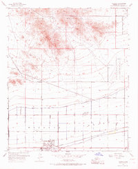
1957 Map of Valencia
USGS Topo · Published 1968About this map
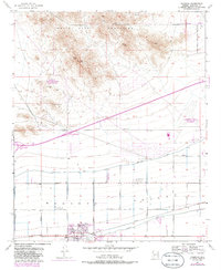
White Tank Mountains dominate the northern landscape of this mid-century survey, where the rugged peaks descend into a carefully engineered desert valley. Evidence of early habitation is noted by petroglyphs found near the mountain trails, contrasting with the modern military and aviation footprints of the White Tanks Proving Grounds and Luke Air Force Auxiliary Field No 6. The southern plains are defined by the Buckeye agricultural network, where the Roosevelt Canal, Lower Buckeye Canal, and Pacific Canal channel water to the desert soil.
Find a feature on this map
35 named features on this map. Tap any name to fly to it.
Don’t see what you’re looking for? This feature index may not catch every label — zoom into the map to look around manually.
Map Details
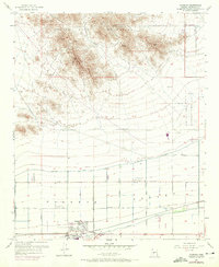
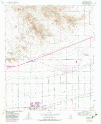
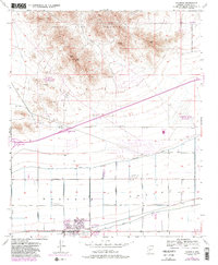
Editions of this 1957 Valencia Map
6 editions found
Other maps of this area

1946 · Avondale
USGS Topo · 1:62,500

1948 · Cashion
USGS Topo · 1:62,500

1954 · Phoenix
USGS Topo · 1:250,000

1957 · Phoenix
USGS Topo · 1:250,000

1957 · White Tank Mts. SE
USGS Topo · 1:24,000

1957 · Valencia
USGS Topo · 1:24,000

1957 · Perryville
USGS Topo · 1:24,000

1957 · Waddell
USGS Topo · 1:24,000

1957 · Avondale SW
USGS Topo · 1:24,000

1957 · White Tank Mts.
USGS Topo · 1:62,500