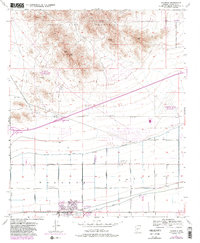
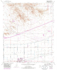
1957 Map of Valencia
USGS Topo · Published 1986About this map
The White Tank Mountains dominate the northern landscape of this Maricopa County survey, providing a sharp topographic contrast to the agricultural and military developments below. To the south, the settlement of Valencia sits near the Gila and Salt River, highlighting the irrigation-driven growth supported by the Roosevelt Canal. This area reflects a mid-century intersection of ranching, military utility, and early suburbanization, anchored by features like the Louis B Hazelton Memorial Cemetery and the High School Stadium.
Find a feature on this map
26 named features on this map. Tap any name to fly to it.
Don’t see what you’re looking for? This feature index may not catch every label — zoom into the map to look around manually.
Map Details
Editions of this 1957 Valencia Map
6 editions found
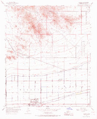
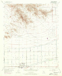
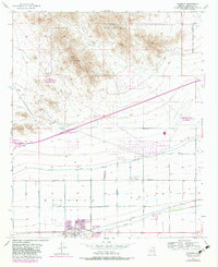
Other maps of this area

1946 · Avondale
USGS Topo · 1:62,500

1948 · Cashion
USGS Topo · 1:62,500

1954 · Phoenix
USGS Topo · 1:250,000

1957 · Phoenix
USGS Topo · 1:250,000

1957 · White Tank Mts. SE
USGS Topo · 1:24,000

1957 · Valencia
USGS Topo · 1:24,000

1957 · Perryville
USGS Topo · 1:24,000

1957 · Waddell
USGS Topo · 1:24,000

1957 · Avondale SW
USGS Topo · 1:24,000

1957 · White Tank Mts.
USGS Topo · 1:62,500