2000s (21st Century) Maps of Gilbert, Arizona
Explore 25 historic maps of Gilbert from the 2000s (21st Century). These maps offer a rare glimpse into what life looked like during the 2000s — showing old roads, neighborhoods, homes, and landmarks that have changed or disappeared over time.
Whether you're researching your family's past, planning a metal detecting trip, or studying how Gilbert's landscape evolved across the 2000s, these high-resolution maps are a powerful tool for exploring the history of this region.
- Focus on a specific era: All maps on this page are from the 2000s, giving you a focused view of this time period.
- See what’s changed: Compare century-old streets, trails, and buildings to today's modern landscape using overlays and satellite layers.
- Research with precision: Use these maps for genealogy, historical research, land use analysis, or educational projects.
- View, download, or print: Maps are fully viewable online in high resolution, and can be downloaded or printed for your own records.
Start exploring Gilbert's history through authentic maps from the 2000s. This is your window into the past.
Gilbert, AZ maps
(25)- 2004 Map of Buckhorn, 2007 Print
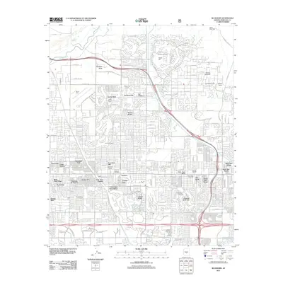
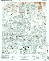 2004 Buckhorn2007 Print · USGSMaricopa County is captured here during the mid-2000s as suburban development filled the valley between the Salt River and the Superstition Mountains. Researchers can trace the expansion of Mesa and Gilbert, and locate landmarks like Buckhorn and the Mountain View Cem.
 - 2011 Map of Gila Butte, 2011 Print
 2011 Gila Butte2011 Print · USGSCovers Gilbert, including Chandler, Sweetwater, and other nearby areas
 - 2011 Map of Chandler, 2011 Print
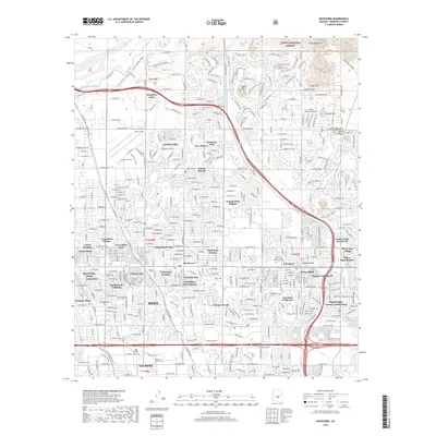
 2011 Chandler2011 Print · USGSCovers Gilbert, including Mesa, Chandler, and other nearby areas
 - 2011 Map of Chandler Heights, 2011 Print
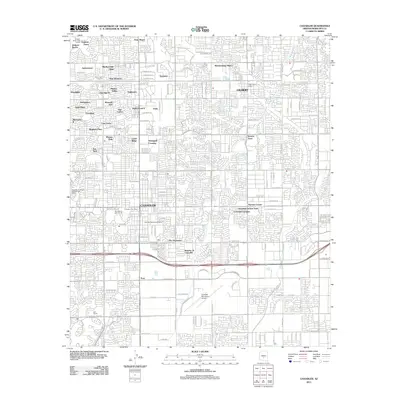
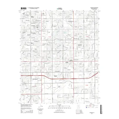
 2011 Chandler Heights2011 Print · USGSCovers Gilbert, including Queen Creek, Maricopa County, and other nearby areas
 - 2011 Map of Mesa, 2011 Print
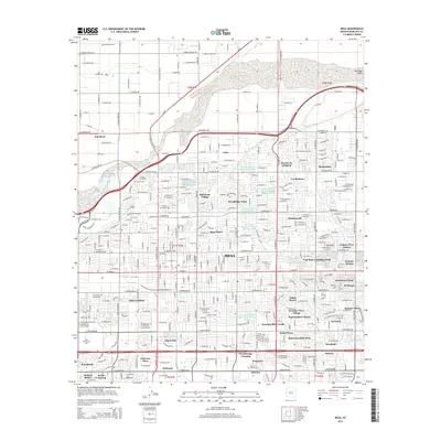
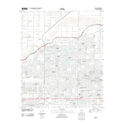 2011 Mesa2011 Print · USGSCovers Gilbert, including Mesa, Salt River, and other nearby areas
 - 2011 Map of Higley, 2011 Print
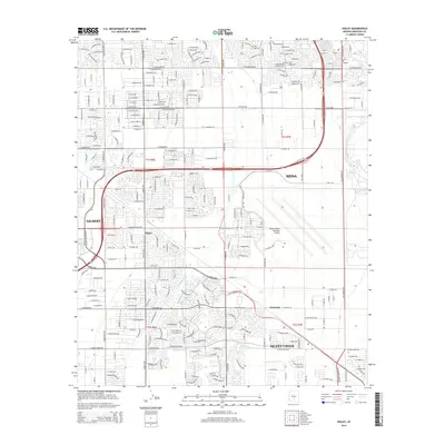
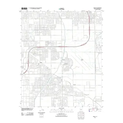 2011 Higley2011 Print · USGSCovers Gilbert, including Mesa, Queen Creek, and other nearby areas
 - 2011 Map of Buckhorn, 2011 Print
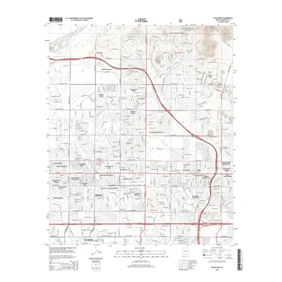
 2011 Buckhorn2011 Print · USGSCovers Gilbert, including Mesa, Maricopa County, and other nearby areas
 - 2014 Map of Chandler, 2014 Print
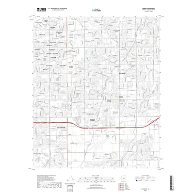
 2014 Chandler2014 Print · USGSCovers Gilbert, including Mesa, Chandler, and other nearby areas
 - 2014 Map of Gila Butte, 2014 Print
 2014 Gila Butte2014 Print · USGSCovers Gilbert, including Chandler, Sweetwater, and other nearby areas
 - 2014 Map of Mesa, 2014 Print
 2014 Mesa2014 Print · USGSCovers Gilbert, including Mesa, Salt River, and other nearby areas
 - 2014 Map of Chandler Heights, 2014 Print
 2014 Chandler Heights2014 Print · USGSCovers Gilbert, including Queen Creek, Maricopa County, and other nearby areas
 - 2014 Map of Buckhorn, 2014 Print
 2014 Buckhorn2014 Print · USGSCovers Gilbert, including Mesa, Maricopa County, and other nearby areas
 - 2014 Map of Higley, 2014 Print
 2014 Higley2014 Print · USGSCovers Gilbert, including Mesa, Queen Creek, and other nearby areas
 - 2018 Map of Buckhorn, 2018 Print
 2018 Buckhorn2018 Print · USGSCovers Gilbert, including Mesa, Maricopa County, and other nearby areas
 - 2018 Map of Chandler, 2018 Print
 2018 Chandler2018 Print · USGSCovers Gilbert, including Mesa, Chandler, and other nearby areas
 - 2018 Map of Gila Butte, 2018 Print
 2018 Gila Butte2018 Print · USGSCovers Gilbert, including Chandler, Sweetwater, and other nearby areas
 - 2018 Map of Mesa, 2018 Print
 2018 Mesa2018 Print · USGSCovers Gilbert, including Mesa, Salt River, and other nearby areas
 - 2018 Map of Higley, 2018 Print
 2018 Higley2018 Print · USGSCovers Gilbert, including Mesa, Queen Creek, and other nearby areas
 - 2018 Map of Chandler Heights, 2018 Print
 2018 Chandler Heights2018 Print · USGSCovers Gilbert, including Queen Creek, Maricopa County, and other nearby areas
 - 2021 Map of Gila Butte, 2021 Print
 2021 Gila Butte2021 Print · USGSThe southern periphery of Chandler meets the Gila River Indian Community in the early 2020s, showing a landscape of rapid suburban growth and ancestral lands. Researchers can trace the boundaries of Stotonic Village and Bapchule or locate the Goodyear-Ocotillo Cem near the rising profile of Gila Butte.
 - 2021 Map of Chandler, 2021 Print
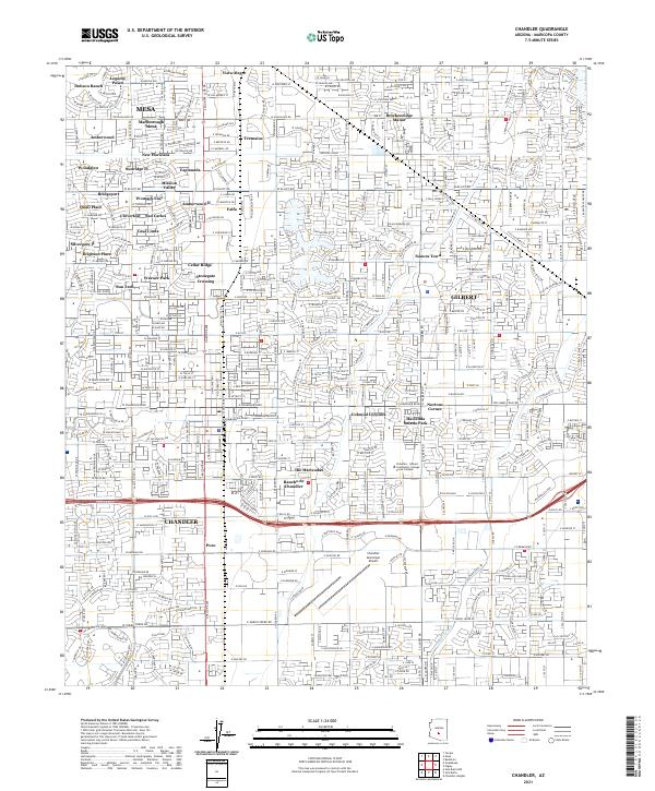 2021 Chandler2021 Print · USGSThe East Valley transitions from its agricultural past to a modern suburban hub in this contemporary survey of Maricopa County. Researchers can trace the layout of Dobson Ranch, the industrial pulse of the Union Pacific RR, and the grounds of Nortons Corner.
 - 2021 Map of Higley, 2021 Print
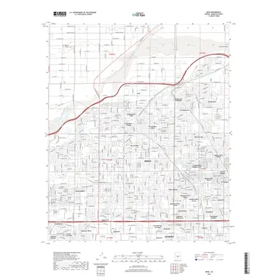
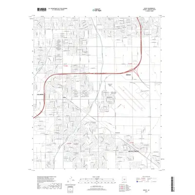
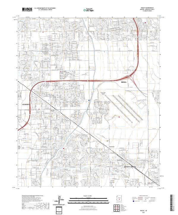 2021 Higley2021 Print · USGSThe East Valley of the Phoenix metro area undergoes significant suburban development in the early 2020s. Genealogists and local historians can trace the growth of Higley and Queen Creek while locating landmarks like the Phoenix-Mesa Gateway Airport.
 - 2021 Map of Buckhorn, 2021 Print
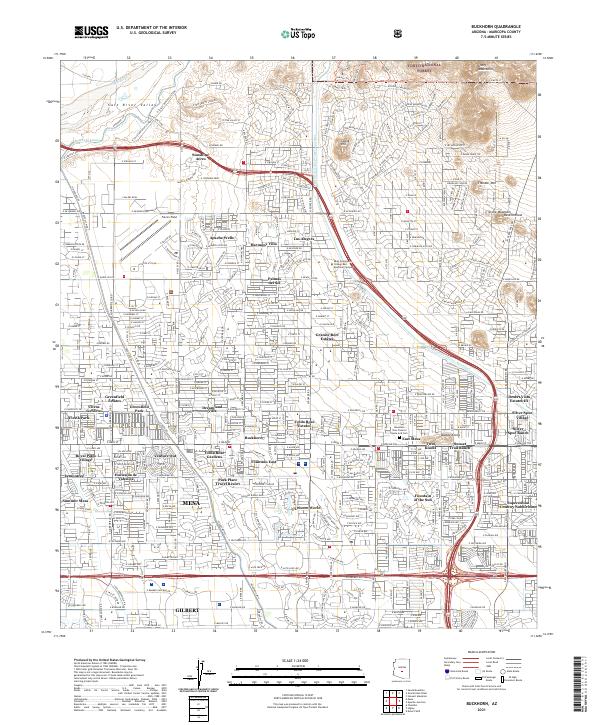 2021 Buckhorn2021 Print · USGSEastern Arizona development meets the desert edge in this detailed look at the modern Mesa landscape. Genealogists and local historians can trace specific residential communities like Dreamland Villa, Apache Wells, and Buckhorn.
 - 2021 Map of Chandler Heights, 2021 Print
 2021 Chandler Heights2021 Print · USGSThe transition from the agricultural and suburban outskirts of Phoenix to the Santan Mountains is captured in this 2021 record. Researchers can trace the development of Chandler Heights and Queen Creek alongside the rugged terrain of Goldmine Mtn and The Gap.
 - 2021 Map of Mesa, 2021 Print
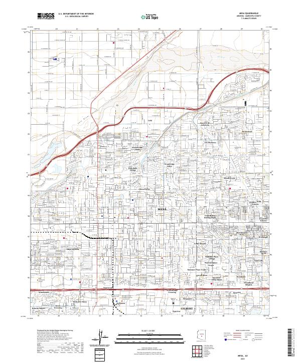 2021 Mesa2021 Print · USGSMesa and the surrounding Salt River Valley are shown here in the early 2020s during a period of significant suburban growth. Genealogists and local researchers can trace the development of numerous neighborhoods and community sites like Lehi, Hohokam Village, and the City Of Mesa Cem.
End of results
Showing maps 1-25 of 25
Top cities near Gilbert
- Phoenix historical maps
- Mesa historical maps
- Chandler historical maps
- Scottsdale historical maps
- Tempe historical maps
- San Tan Valley historical maps
See more
Top neighborhoods of Gilbert
- The Bridges at Gilbert historical maps
- Tremaine historical maps
- Gilbert Ranch historical maps
- Estates at Spectrum historical maps
- Ocotillo historical maps
- Allen Ranch historical maps
See more
Frequently asked questions
- What are the different types of historical maps available for Gilbert?
- What is the oldest map of Gilbert?
- Where can I purchase historical maps of Gilbert for my home or office?
- Where can I download high-res historical maps of Gilbert?
- Are there historical topographic maps available for Gilbert?
- Is there historical aerial imagery available for Gilbert?
- Where are historical maps of Gilbert sourced from?