2020s Maps of San Lucy District, Arizona
Explore 5 historic maps of San Lucy District from the 2020s. These maps offer a rare glimpse into what life looked like during the 2020s — showing old roads, neighborhoods, homes, and landmarks that have changed or disappeared over time.
Whether you're researching your family's past, planning a metal detecting trip, or studying how San Lucy District's landscape evolved across the 2020s, these high-resolution maps are a powerful tool for exploring the history of this region.
- Focus on a specific era: All maps on this page are from the 2020s, giving you a focused view of this time period.
- See what’s changed: Compare century-old streets, trails, and buildings to today's modern landscape using overlays and satellite layers.
- Research with precision: Use these maps for genealogy, historical research, land use analysis, or educational projects.
- View, download, or print: Maps are fully viewable online in high resolution, and can be downloaded or printed for your own records.
Start exploring San Lucy District's history through authentic maps from the 2020s. This is your window into the past.
San Lucy District, AZ maps
(5)- 2021 Map of Citrus Valley East, 2021 Print
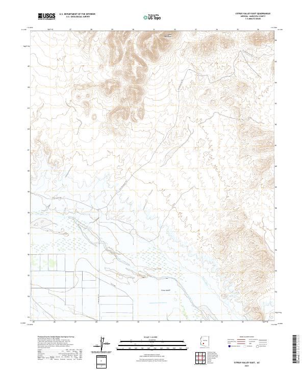 2021 Citrus Valley East2021 Print · USGSMaricopa County's desert agriculture is on full display in this 2021 survey of the Gila River corridor. Genealogists and researchers can trace local land use near Citrus Valley and the vital water route of the Citrus Ditch below the Gila Bend Mountains.
 - 2021 Map of Arizona City, 2021 Print
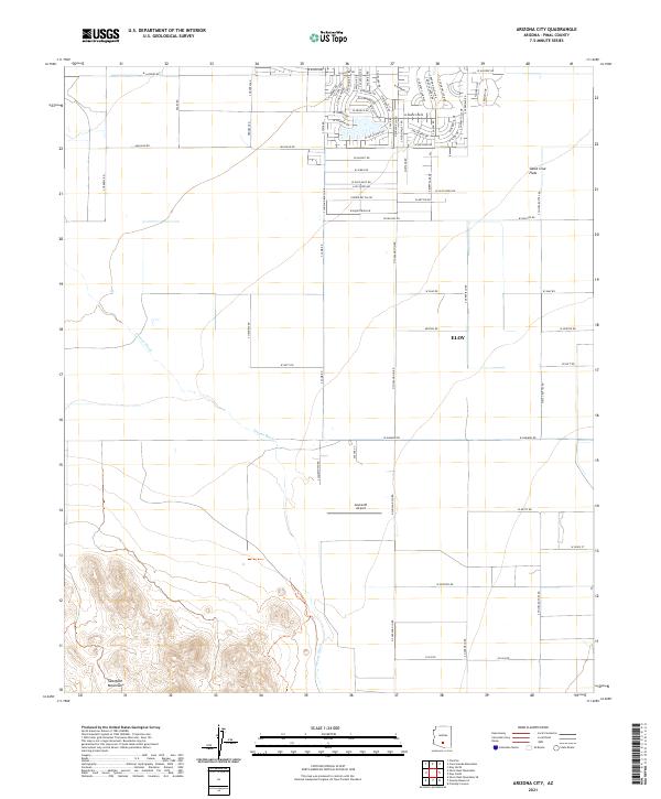 2021 Arizona City2021 Print · USGSThe Pinal County desert south of Phoenix comes into focus here in the early 2020s, showing the intersection of residential growth and desert terrain. Trace the modern street grids near Eloy or locate the Sawtooth Airport and the peaks of the Sawtooth Mountains.
 - 2021 Map of Cotton Center, 2021 Print
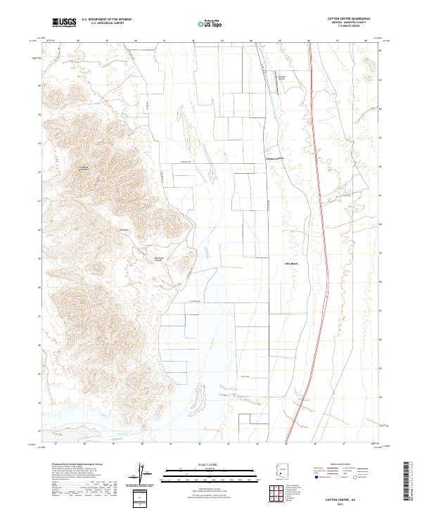 2021 Cotton Center2021 Print · USGSThe Gila River valley south of the Phoenix area shows its modern agricultural and desert character in the early 2020s. Trace the intricate irrigation of the Gila Bend Canal and find local landmarks like Cotton Center and Lakeside Airpark.
 - 2021 Map of Gila Bend, 2021 Print
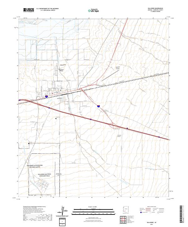 2021 Gila Bend2021 Print · USGSGila Bend and San Lucy Village appear here as modern desert hubs shaped by early travel routes and irrigation. Researchers can trace the path of the Butterfield Trl, find local family history at Pioneer Cem, and locate the Gila Bend Canal.
 - 2021 Map of Smurr, 2021 Print
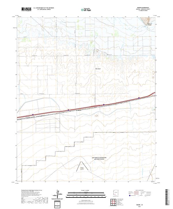 2021 Smurr2021 Print · USGSMaricopa County agriculture and aviation intersect in this contemporary portrait of the Sonoran desert. Researchers can trace the water infrastructure of Citrus Ditch and the Gila Bend Canal or locate the historic Williams Auxiliary Airfield 6.
End of results
Showing maps 1-5 of 5
Top cities near San Lucy District
Top neighborhoods of San Lucy District
Frequently asked questions
- What are the different types of historical maps available for San Lucy District?
- What is the oldest map of San Lucy District?
- Where can I purchase historical maps of San Lucy District for my home or office?
- Where can I download high-res historical maps of San Lucy District?
- Are there historical topographic maps available for San Lucy District?
- Is there historical aerial imagery available for San Lucy District?
- Where are historical maps of San Lucy District sourced from?