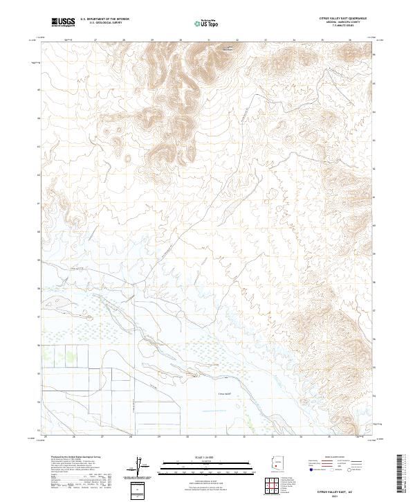
2021 Map of Citrus Valley East
USGS Topo · Published 2021About this map
The Gila River corridor defines this landscape in Maricopa County, showing the intersection of natural water systems and early 21st-century irrigation infrastructure. The river winds across the center of the sheet, supported by the Citrus Ditch to the south, which facilitates agriculture near the settlement of Citrus Valley. The terrain is marked by sharp elevation changes where the southern slopes of the Gila Bend Mountains meet the valley floor. Rural transport follows the river's path, with W Citrus Valley Rd and 355th Ave providing access through the various sections of Township 4 and 5 South. This survey records the land as it appeared in 2021, illustrating the enduring reliance on the river for local development in the arid Arizona interior.
Find a feature on this map
13 named features on this map. Tap any name to fly to it.
Don’t see what you’re looking for? This feature index may not catch every label — zoom into the map to look around manually.
Map Details
Editions of this 2021 Citrus Valley East Map
This is the sole edition of this map. No revisions or reprints were ever made.
Other maps of this area

1950 · Theba
USGS Topo · 1:62,500

1951 · Gila Bend
USGS Topo · 1:62,500

1951 · Theba
USGS Topo · 1:62,500

1951 · Cotton Center
USGS Topo · 1:62,500

1951 · Woolsey Peak
USGS Topo · 1:62,500

1953 · Ajo
USGS Topo · 1:250,000

1954 · Phoenix
USGS Topo · 1:250,000

1957 · Ajo
USGS Topo · 1:250,000

1957 · Phoenix
USGS Topo · 1:250,000

1958 · Ajo
USGS Topo · 1:250,000