Old Maps of Desert Hills, Arizona for Academic Research
Study the evolution of Desert Hills with 14 high-resolution historic maps. Whether you're teaching, researching, or modeling changes in land use, these maps provide essential visual documentation of urban, environmental, and geographic change.
- Analyze long-term change: Track patterns in development, transportation, and natural features.
- Ideal for environmental or urban studies: Support academic projects with primary historical map data.
- Use in the classroom or lab: Educators and researchers rely on these maps to bring historical context to life.
These maps are a powerful tool for teaching, research, and visualizing how Desert Hills has changed over the decades.
Desert Hills, AZ maps
(14)- 1903 Map of Needles, 1960 Print
 1903 Needles1960 Print · USGSThe Colorado River borderlands in the early 1900s centered on the critical rail crossing at Needles. Genealogists and historians can trace early railroad sidings like Khatoum and Beal or the old Parker Road through the Chemehuevi Valley.
 - 1904 Map of Needles Special
 1904 Needles Special1904 Print · USGSThe Lower Colorado River region at the start of the twentieth century was a vital corridor for western rail expansion and river navigation. Genealogists and historians can trace the rail sidings of the Atchison Topeka and Santa Fe RR and early settlements like Mellen, Franconia, and Needles.7 unique versions available
 - 1943 Map of Topock
 1943 Topock1943 Print · USGSThe Arizona-California borderlands are captured here during World War II, just as the landscape was being reshaped by the waters of the Colorado. Researchers can trace the original rail line through Topock and locate desert sidings like Franconia and Powell along the Sacramento Wash.
 - 1950 Map of Topock, 1957 Print
 1950 Topock1957 Print · USGSThe Colorado River borderlands in the early postwar era show a desert landscape being reshaped by infrastructure and conservation. Genealogists and historians can trace the rail corridor through Franconia and locate remote mining sites like the Gold Dome Mine or the Jackpot Mine.3 unique versions available
 - 1951 Map of Topock
 1951 Topock1951 Print · USGSThe Colorado River valley and Mohave Mountains are captured here in the early fifties, showing a landscape defined by desert mining and river life. Trace the path of the National Old Trails Road and locate remote sites like Jackpot Mine or Jops Landing.2 unique versions available
 - 1954 Map of Needles
 1954 Needles1954 Print · USGSThe Mojave Desert at the height of the mid-century era shows a landscape defined by the Atchison Topeka and Santa Fe railroad and the legendary U S Highway 66. Genealogists and historians can trace rail stops like Goffs, mining sites such as the Bonanza King Mine, and the early borders of the Chemehuevi Indian Reservation.
 - 1956 Map of Needles
 1956 Needles1956 Print · USGSThe Mojave Desert and Colorado River come alive in the mid-fifties, showing the intersection of vital rail lines and massive water projects. Trace the Atchison Topeka and Santa Fe line through Amboy or locate remote sites like the Copper World Mine and Rio Vista Guest Ranch.7 unique versions available
 - 1970 Map of Lake Havasu City North, 1973 Print
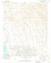 1970 Lake Havasu City North1973 Print · USGSLake Havasu City is shown in its primary stage of expansion during the early seventies, with its distinctive street grid pushing into the desert. You can trace the development of neighborhood tracts like Havasupai or locate early landmarks such as the Wing Mine and the Radio Facility.4 unique versions available
 - 1981 Map of Needles, 1987 Print
 1981 Needles1987 Print · USGSThe High Desert and Colorado River valley are seen here in the early 1980s through the unique lens of satellite imagery. Trace the isolated outposts of the AT & SF railroad at Goffs and Essex, or explore the sprawling shores of Lake Havasu.
 - 1985 Map of Needles
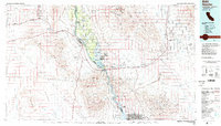 1985 Needles1985 Print · USGSThe Colorado River borderlands in the mid-1980s show a region shaped by major infrastructure and desert transit. Genealogists and historians can trace the path of U S 66 and the Atchison Topeka and Santa Fe through settlements like Needles, Goffs, and Topock.
 - 2011 Map of Lake Havasu City North, 2011 Print
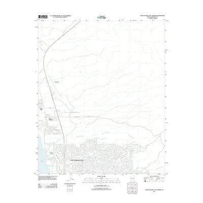 2011 Lake Havasu City North2011 Print · USGSLake Havasu City and the surrounding Mohave County desert are captured here during a period of modern expansion. Researchers can trace the developed neighborhoods and infrastructure of Lake Havasu City, from Jops Landing to the Lake Havasu Memorial Gardens.
 - 2014 Map of Lake Havasu City North, 2014 Print
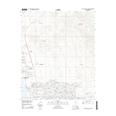 2014 Lake Havasu City North2014 Print · USGSLake Havasu City and the surrounding Mojave Desert landscape are captured here in the mid-2010s during a period of significant suburban expansion. Researchers can trace the modern street grid and drainage networks including Jops Landing, Hillside Drain, and the Lake Havasu City Airport.
 - 2018 Map of Lake Havasu City North, 2018 Print
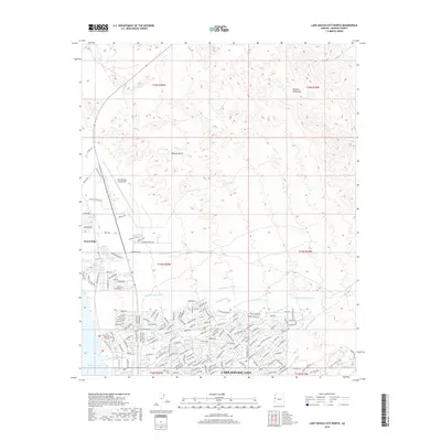 2018 Lake Havasu City North2018 Print · USGSLake Havasu City's northern expansion meets the Mohave Mountains in the late 2010s. Modern researchers can trace the intricate network of desert washes and infrastructure including the Lake Havasu City Airport and the Lake Havasu Memorial Gardens.
 - 2021 Map of Lake Havasu City North, 2021 Print
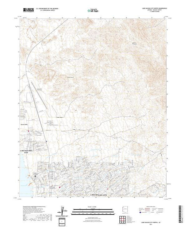 2021 Lake Havasu City North2021 Print · USGSLake Havasu City and the surrounding Mojave Desert landscape are captured here in the early 2020s as residential development reaches toward the mountains. Trace local landmarks like the Lake Havasu City Airport and follow the paths of desert drainages including Havasupai Wash and Falls Springs Wash.
End of results
Showing maps 1-14 of 14
Top cities near Desert Hills
Frequently asked questions
- What are the different types of historical maps available for Desert Hills?
- What is the oldest map of Desert Hills?
- Where can I purchase historical maps of Desert Hills for my home or office?
- Where can I download high-res historical maps of Desert Hills?
- Are there historical topographic maps available for Desert Hills?
- Is there historical aerial imagery available for Desert Hills?
- Where are historical maps of Desert Hills sourced from?