Old Maps of Golden Shores, Arizona for Metal Detecting
Plan your next treasure hunt with 11 historic maps of Golden Shores. Find old homesites, ghost towns, trails, and gathering spots that may be lost to time — perfect for identifying promising metal detecting locations.
- Locate forgotten sites: Uncover places like long-lost settlements, abandoned rail lines, or gathering spots.
- Plan better hunts: Use map overlays combined with LiDAR or satellite views to narrow in on historically rich areas.
- Made for detectorists: Thousands of hobbyists use these maps to discover relics, coins, and hidden history.
Use these historic maps to boost your research and find new opportunities beneath the surface of Golden Shores.
Golden Shores, AZ maps
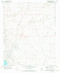
(11)- 1903 Map of Needles, 1960 Print
 1903 Needles1960 Print · USGSThe Colorado River borderlands in the early 1900s centered on the critical rail crossing at Needles. Genealogists and historians can trace early railroad sidings like Khatoum and Beal or the old Parker Road through the Chemehuevi Valley.
 - 1904 Map of Needles Special
 1904 Needles Special1904 Print · USGSThe Lower Colorado River region at the start of the twentieth century was a vital corridor for western rail expansion and river navigation. Genealogists and historians can trace the rail sidings of the Atchison Topeka and Santa Fe RR and early settlements like Mellen, Franconia, and Needles.7 unique versions available
 - 1954 Map of Needles
 1954 Needles1954 Print · USGSThe Mojave Desert at the height of the mid-century era shows a landscape defined by the Atchison Topeka and Santa Fe railroad and the legendary U S Highway 66. Genealogists and historians can trace rail stops like Goffs, mining sites such as the Bonanza King Mine, and the early borders of the Chemehuevi Indian Reservation.
 - 1956 Map of Needles
 1956 Needles1956 Print · USGSThe Mojave Desert and Colorado River come alive in the mid-fifties, showing the intersection of vital rail lines and massive water projects. Trace the Atchison Topeka and Santa Fe line through Amboy or locate remote sites like the Copper World Mine and Rio Vista Guest Ranch.7 unique versions available
 - 1970 Map of Warm Springs SW, 1973 Print
 1970 Warm Springs SW1973 Print · USGSThe Havasu Valley area at the dawn of the seventies shows a desert landscape transitioning into a modern community. Researchers can trace the development of the Golden Shores neighborhood near Topock Marsh or locate the Old Railroad Grade and Landing Strip near the Topock settlement.
 - 1981 Map of Needles, 1987 Print
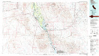
 1981 Needles1987 Print · USGSThe High Desert and Colorado River valley are seen here in the early 1980s through the unique lens of satellite imagery. Trace the isolated outposts of the AT & SF railroad at Goffs and Essex, or explore the sprawling shores of Lake Havasu.
 - 1985 Map of Needles
 1985 Needles1985 Print · USGSThe Colorado River borderlands in the mid-1980s show a region shaped by major infrastructure and desert transit. Genealogists and historians can trace the path of U S 66 and the Atchison Topeka and Santa Fe through settlements like Needles, Goffs, and Topock.
 - 2011 Map of Warm Springs SW, 2011 Print
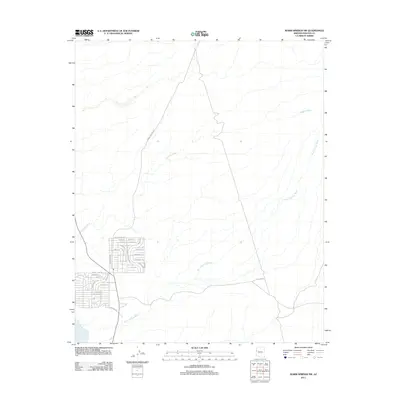 2011 Warm Springs SW2011 Print · USGSCovers Golden Shores, including Mohave County, United States, and other nearby areas
 - 2014 Map of Warm Springs SW, 2014 Print
 2014 Warm Springs SW2014 Print · USGSCovers Golden Shores, including Mohave County, United States, and other nearby areas
 - 2018 Map of Warm Springs SW, 2018 Print
 2018 Warm Springs SW2018 Print · USGSCovers Golden Shores, including Mohave County, United States, and other nearby areas
 - 2021 Map of Warm Springs SW, 2021 Print
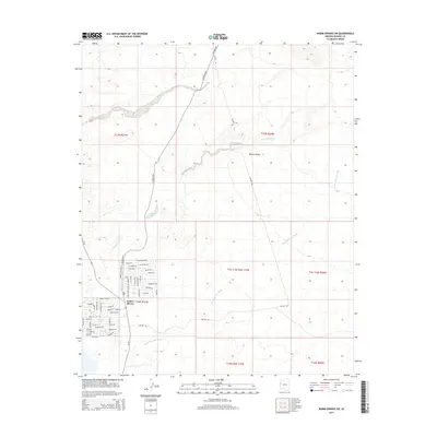
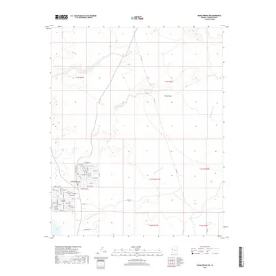
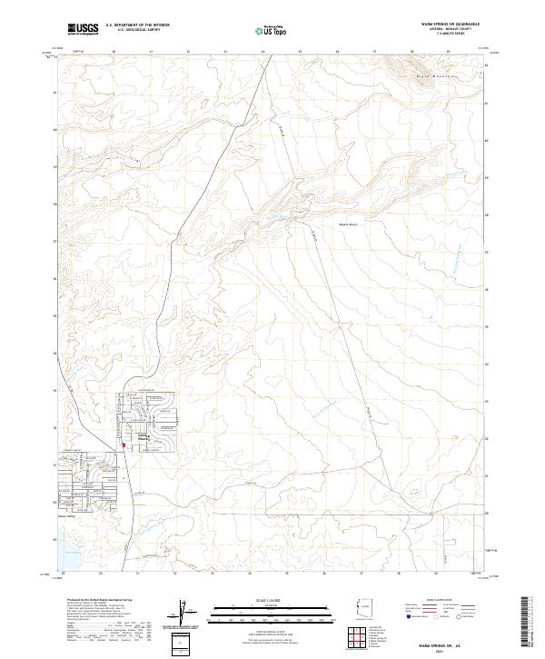 2021 Warm Springs SW2021 Print · USGSThe Mohave Valley shoreline near the turn of the twenty-first century reveals the residential development of Golden Shores alongside the Topock Marsh. Researchers can trace the desert road network including Polaris Rd and the drainage of Fivemile Wash beneath the Black Mountains.
End of results
Showing maps 1-11 of 11
Top cities near Golden Shores
- Lake Havasu City historical maps
- Needles historical maps
- Mohave Valley historical maps
- Willow Valley historical maps
- Arizona Village historical maps
- Mesquite Creek historical maps
See more
Frequently asked questions
- What are the different types of historical maps available for Golden Shores?
- What is the oldest map of Golden Shores?
- Where can I purchase historical maps of Golden Shores for my home or office?
- Where can I download high-res historical maps of Golden Shores?
- Are there historical topographic maps available for Golden Shores?
- Is there historical aerial imagery available for Golden Shores?
- Where are historical maps of Golden Shores sourced from?